
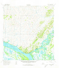
1952 Map of Kwiguk A-3
USGS Topo · Published 1959About this map
The confluence of the Yukon River and the Andreafsky River dominates this mid-century survey, revealing a landscape defined by seasonal movement and river-based industry. The settlement of Andreafsky (St Marys PO) serves as a focal point near the river forks, while Old Andreafsky and Pitkas Point mark established points of habitation along the banks. Evidence of the region's economic life is found at the Cannery and various cabins scattered along the waterways.
Find a feature on this map
15 named features on this map. Tap any name to fly to it.
Don’t see what you’re looking for? This feature index may not catch every label — zoom into the map to look around manually.
Map Details
Editions of this 1952 Kwiguk A-3 Map
2 editions found
Other maps of this area

1951 · Marshall
USGS Topo · 1:250,000

1952 · Kwiguk
USGS Topo · 1:250,000

1952 · Kwiguk B-3
USGS Topo · 1:63,360

1952 · Kwiguk B-2
USGS Topo · 1:63,360

1952 · Kwiguk A-2
USGS Topo · 1:63,360

1952 · Kwiguk A-4
USGS Topo · 1:63,360

1952 · Kwiguk B-4
USGS Topo · 1:63,360

1952 · Marshall D-5
USGS Topo · 1:63,360

1952 · Marshall D-4
USGS Topo · 1:63,360

1952 · Marshall D-3
USGS Topo · 1:63,360
Featured Places
- Saint Mary's, St. Mary's
- Old Andreafsky, St. Mary's
- Pitkas Point, AK
- St. Mary's, AK
- Unorganized Borough, AK