
1952 Map of Marshall D-3
USGS Topo · Published 1964About this map
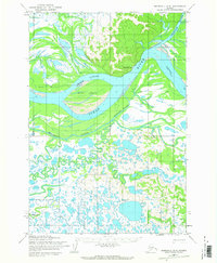
Pilot Station serves as the primary outpost in this 1950s survey of the lower Yukon delta, situated along the northern bank where the Chuilnak River meets the massive Yukon River. The landscape is defined by an intricate network of waterways and seasonally active paths, including the Winter (Approximate) Trail that skirts the hills above the floodplains. The map illustrates a complex fluvial environment where large landforms like Hills Island are carved out by secondary channels such as Hills Slough and Driftwood Slough. Further south, the terrain becomes a dense mosaic of lakes and winding channels feeding into the Kashunuk River and Kashunuk Slough. This document records the essential connection between the river system and the overland winter routes that provided the only reliable transportation for the region's remote settlements during this era.
Find a feature on this map
10 named features on this map. Tap any name to fly to it.
Don’t see what you’re looking for? This feature index may not catch every label — zoom into the map to look around manually.
Map Details
Editions of this 1952 Marshall D-3 Map
2 editions found
Other maps of this area

1951 · Marshall
USGS Topo · 1:250,000

1952 · Kwiguk
USGS Topo · 1:250,000

1952 · Kwiguk A-2
USGS Topo · 1:63,360

1952 · Kwiguk A-3
USGS Topo · 1:63,360

1952 · Marshall D-4
USGS Topo · 1:63,360
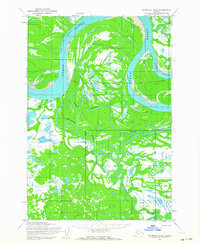
1952 · Marshall D-2
USGS Topo · 1:63,360

1954 · Marshall C-3
USGS Topo · 1:63,360
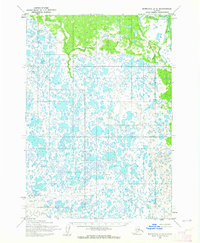
1954 · Marshall C-2
USGS Topo · 1:63,360

1954 · Marshall C-4
USGS Topo · 1:63,360

1954 · Marshall
USGS Topo · 1:250,000