
1952 Map of Kwiguk A-4
USGS Topo · Published 1959About this map
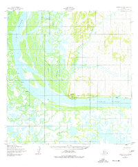
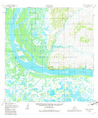
Mountain Village sits at the base of Azachorok Hill where the mighty Yukon River meets a complex network of sloughs and channels. This 1950s era survey captures the traditional landscape of the lower Yukon, where seasonal movement and river access define life. A Winter Trail connects the primary settlement to the interior, while a Seaplane Anchorage and the Radio Station (KMTN) reflect mid-century infrastructure in this remote stretch of Alaska. Smaller riverside locations such as Kazhutak, Muktalik, and Johnnys Village indicate the distribution of family or seasonal camps along the banks. To the south, unnamed Ruins suggest older habitation patterns near the winding Azachoruk Slough. The topography transitions sharply from the low, marshy delta land near Tunurokpak Channel to the rising elevations of the interior hills.
Find a feature on this map
16 named features on this map. Tap any name to fly to it.
Don’t see what you’re looking for? This feature index may not catch every label — zoom into the map to look around manually.
Map Details
Editions of this 1952 Kwiguk A-4 Map
3 editions found
Other maps of this area

1951 · Marshall
USGS Topo · 1:250,000

1952 · Kwiguk
USGS Topo · 1:250,000

1952 · Kwiguk B-3
USGS Topo · 1:63,360

1952 · Kwiguk A-5
USGS Topo · 1:63,360

1952 · Kwiguk B-5
USGS Topo · 1:63,360

1952 · Kwiguk A-3
USGS Topo · 1:63,360

1952 · Kwiguk B-4
USGS Topo · 1:63,360

1952 · Marshall D-5
USGS Topo · 1:63,360

1952 · Marshall D-4
USGS Topo · 1:63,360

1952 · Marshall D-6
USGS Topo · 1:63,360