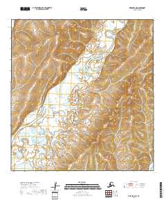
2018 Map of Kwiguk A-2 SW
USGS Topo · Published 2018About this map
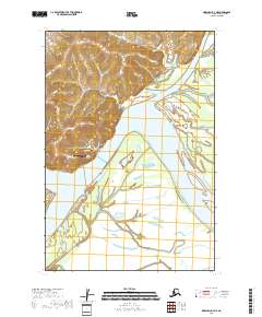
The East Fork Andreafsky River defines this landscape in the Kusilvak Census Area of Alaska, meandering through a complex network of wetlands and low-lying terrain. This 2018 survey illustrates the intricate seasonal hydrology of the region, where the river divides and recombines amidst an expansive system of ponds and marshes. The map is primarily characterized by its remote natural features rather than human infrastructure, reflecting the wilderness character of the Yukon Delta area. The inclusion of the Public Land Survey System (PLSS) grid, including boundaries like t23n r74w and t24n r75w, provides a framework for understanding land division in this largely roadless territory, where the river serves as the primary corridor for movement and life.
Find a feature on this map
7 named features on this map. Tap any name to fly to it.
Don’t see what you’re looking for? This feature index may not catch every label — zoom into the map to look around manually.
Map Details
Editions of this 2018 Kwiguk A-2 SW Map
This is the sole edition of this map. No revisions or reprints were ever made.
Other maps of this area

1951 · Marshall
USGS Topo · 1:250,000

1952 · Kwiguk
USGS Topo · 1:250,000

1952 · Kwiguk A-2
USGS Topo · 1:63,360

1952 · Kwiguk A-3
USGS Topo · 1:63,360
1952 · Marshall D-2
USGS Topo · 1:63,360

1952 · Marshall D-3
USGS Topo · 1:63,360

1954 · Marshall
USGS Topo · 1:250,000
2018 · Kwiguk A-2 NW
USGS Topo · 1:25,000
2018 · Kwiguk A-2 NE
USGS Topo · 1:25,000
2018 · Marshall D-3 NE
USGS Topo · 1:25,000