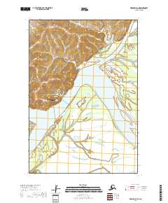
2018 Map of Marshall D-3 NE
USGS Topo · Published 2018About this map
Pilot Station sits perched on the western bank of the Yukon River, serving as a vital hub along this braided Alaskan waterway. This 2018 survey illustrates the community's infrastructure, showing the Pilot Station Airport and local thoroughfares like Yaraq St and Airport Rd that connect the town to the river’s edge. The surrounding landscape is defined by complex hydrology, where the main channel is fed and branched by the Atchuelinguk River and sluggish waterways like Hills Slough and Kashunuk Slough. The placement of P O Housing Road indicates the planned expansion of the settlement within the vast river delta. This map provides a clear view of the navigational and residential patterns of a modern river town in the Kusilvak Census Area.
Find a feature on this map
12 named features on this map. Tap any name to fly to it.
Don’t see what you’re looking for? This feature index may not catch every label — zoom into the map to look around manually.
Map Details
Editions of this 2018 Marshall D-3 NE Map
This is the sole edition of this map. No revisions or reprints were ever made.
Other maps of this area

1951 · Marshall
USGS Topo · 1:250,000

1952 · Kwiguk
USGS Topo · 1:250,000

1952 · Kwiguk A-2
USGS Topo · 1:63,360
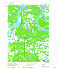
1952 · Marshall D-2
USGS Topo · 1:63,360

1952 · Marshall D-3
USGS Topo · 1:63,360

1954 · Marshall
USGS Topo · 1:250,000
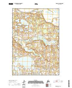
2018 · Marshall D-3 SE
USGS Topo · 1:25,000
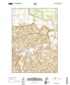
2018 · Marshall D-2 SW
USGS Topo · 1:25,000
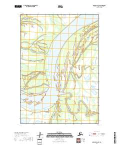
2018 · Marshall D-2 NW
USGS Topo · 1:25,000
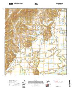
2018 · Kwiguk A-2 SE
USGS Topo · 1:25,000