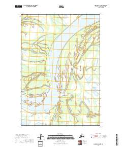
2018 Map of Marshall D-2 NW
USGS Topo · Published 2018About this map
Yukon River dominates this portion of the Kusilvak Census Area, carved by a network of braided channels and shifting sandbars. The landscape is defined by the massive waterway's complex hydrology, featuring the distinctive arc of Dogtooth Bend and the diverging path of Center Slough. To the south, the Reindeer River contributes to the intricate aquatic system, highlighting a wilderness terrain where water determines the geography. This 2018 survey documents the intricate shorelines and wetlands of the western Alaska interior, providing a precise record of the river's course through t22n r73w and t21n r73w.
Find a feature on this map
6 named features on this map. Tap any name to fly to it.
Don’t see what you’re looking for? This feature index may not catch every label — zoom into the map to look around manually.
Map Details
Editions of this 2018 Marshall D-2 NW Map
This is the sole edition of this map. No revisions or reprints were ever made.
Other maps of this area

1951 · Marshall
USGS Topo · 1:250,000

1952 · Kwiguk
USGS Topo · 1:250,000

1952 · Kwiguk A-2
USGS Topo · 1:63,360
1952 · Marshall D-2
USGS Topo · 1:63,360

1952 · Marshall D-3
USGS Topo · 1:63,360

1954 · Marshall
USGS Topo · 1:250,000
2018 · Marshall D-2 NE
USGS Topo · 1:25,000
2018 · Marshall D-3 SE
USGS Topo · 1:25,000
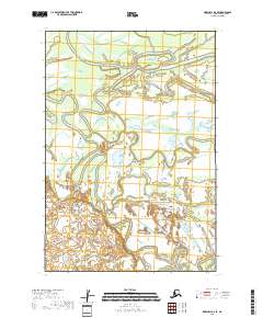
2018 · Marshall D-2 SE
USGS Topo · 1:25,000
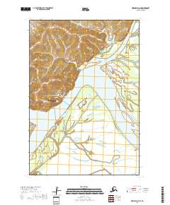
2018 · Marshall D-3 NE
USGS Topo · 1:25,000