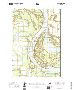
2018 Map of Marshall D-2 NE
USGS Topo · Published 2018About this map
The Yukon River dominates this portion of the Kusilvak Census Area, carved by a complex network of active and secondary waterways. The landscape is defined by the massive main channel and its surrounding floodplains, where Spangle Island sits as a significant landmass amidst the shifting currents. This 2018 survey illustrates the intricate riparian geography of the region, including the elongated Poltes Slough and the lower reaches of Center Slough. These features highlight the importance of river navigation and seasonal water flow in this part of Alaska, where the braided river system creates a constantly evolving series of islands and channels.
Find a feature on this map
7 named features on this map. Tap any name to fly to it.
Don’t see what you’re looking for? This feature index may not catch every label — zoom into the map to look around manually.
Map Details
Editions of this 2018 Marshall D-2 NE Map
This is the sole edition of this map. No revisions or reprints were ever made.
Other maps of this area

1951 · Marshall
USGS Topo · 1:250,000

1952 · Kwiguk
USGS Topo · 1:250,000

1952 · Kwiguk A-2
USGS Topo · 1:63,360

1952 · Kwiguk A-1
USGS Topo · 1:63,360
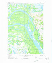
1952 · Marshall D-1
USGS Topo · 1:63,360
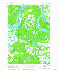
1952 · Marshall D-2
USGS Topo · 1:63,360

1954 · Marshall
USGS Topo · 1:250,000
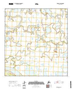
2018 · Kwiguk A-1 SW
USGS Topo · 1:25,000
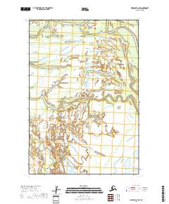
2018 · Marshall D-1 SW
USGS Topo · 1:25,000
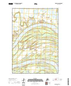
2018 · Marshall D-1 NW
USGS Topo · 1:25,000