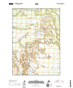
2018 Map of Marshall D-1 SW
USGS Topo · Published 2018About this map
Owl Creek winds through this expansive wetland landscape in the Kusilvak Census Area, defining the northern hydrological character of the quadrangle. The terrain is dominated by a complex network of marshes and water channels, including the meandering Center Slough which drains the western portion of the region. This 2018 survey reflects the persistent, undeveloped nature of the Alaskan wilderness, where the Public Land Survey System boundaries like t21n r71w and t20n r72w provide the primary organizational structure for an area devoid of roads or permanent settlements. The map detail is focused on the intricate hydrography of the delta region, showing the subtle elevations and saturated lands that shape this remote part of the state.
Find a feature on this map
8 named features on this map. Tap any name to fly to it.
Don’t see what you’re looking for? This feature index may not catch every label — zoom into the map to look around manually.
Map Details
Editions of this 2018 Marshall D-1 SW Map
This is the sole edition of this map. No revisions or reprints were ever made.
Other maps of this area

1951 · Marshall
USGS Topo · 1:250,000

1952 · Marshall C-1
USGS Topo · 1:63,360
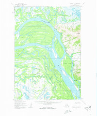
1952 · Marshall D-1
USGS Topo · 1:63,360
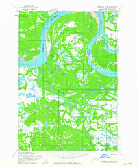
1952 · Marshall D-2
USGS Topo · 1:63,360
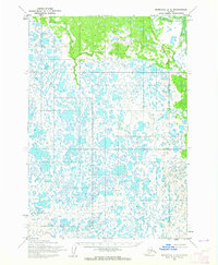
1954 · Marshall C-2
USGS Topo · 1:63,360

1954 · Marshall
USGS Topo · 1:250,000
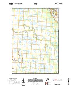
2018 · Marshall C-1 NE
USGS Topo · 1:25,000
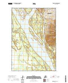
2018 · Marshall D-1 SE
USGS Topo · 1:25,000
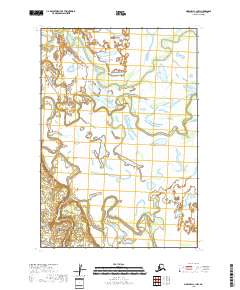
2018 · Marshall C-1 NW
USGS Topo · 1:25,000
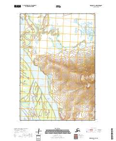
2018 · Marshall D-1 NE
USGS Topo · 1:25,000