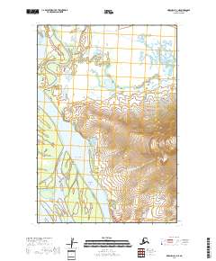
2018 Map of Marshall D-1 NE
USGS Topo · Published 2018About this map
The Yukon River dominates this landscape, carving a complex network of waterways through the Kusilvak region. The settlement at Takshak sits along the river's western bank, while the primary topography is defined by The Bluff and the rising elevation of Pilcher Mtn to the east. The river's dynamic nature is evident in the numerous braided channels and landforms it has created, including Rose Island, Nevensky Island, and a series of slow-moving backwaters such as Five Day Slough, Poltes Slough, and Monarch Slough.
Find a feature on this map
20 named features on this map. Tap any name to fly to it.
Don’t see what you’re looking for? This feature index may not catch every label — zoom into the map to look around manually.
Map Details
Editions of this 2018 Marshall D-1 NE Map
This is the sole edition of this map. No revisions or reprints were ever made.
Other maps of this area

1947 · Russian Mission
USGS Topo · 1:250,000

1950 · Russian Mission
USGS Topo · 1:250,000

1951 · Marshall
USGS Topo · 1:250,000

1951 · Holy Cross
USGS Topo · 1:250,000

1952 · Kwiguk
USGS Topo · 1:250,000

1952 · Kwiguk A-1
USGS Topo · 1:63,360

1952 · Holy Cross A-6
USGS Topo · 1:63,360

1952 · Holy Cross
USGS Topo · 1:250,000
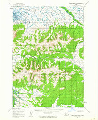
1952 · Russian Mission D-8
USGS Topo · 1:63,360
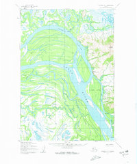
1952 · Marshall D-1
USGS Topo · 1:63,360