
1952 Map of Holy Cross A-6
USGS Topo · Published 1959About this map
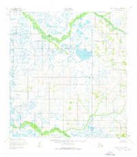
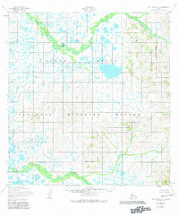
The Nageethuk River and Kutuk River define the drainage of this interior Alaskan landscape, which was meticulously documented through photogrammetric methods using aerial photography from 1951 and 1952. The terrain is a complex matrix of water and elevation, with countless unnamed lakes and ponds concentrated in the northern and western sections of the quadrangle. These water bodies are interspersed with low-lying marshy ground, contrasting with the more defined contour lines that rise toward the eastern edge of the sheet. The survey, produced as a collaborative effort between the Army Map Service and the Geological Survey, reveals a wilderness devoid of any established roads or trails at the time of field annotation in 1952. This absence of infrastructure underscores the region's character as a roadless expanse where the meandering river systems provided the primary means of navigation and geographic orientation.
Find a feature on this map
2 named features on this map. Tap any name to fly to it.
Don’t see what you’re looking for? This feature index may not catch every label — zoom into the map to look around manually.
Map Details
Editions of this 1952 Holy Cross A-6 Map
3 editions found
Other maps of this area

1947 · Russian Mission
USGS Topo · 1:250,000

1950 · Russian Mission
USGS Topo · 1:250,000

1951 · Marshall
USGS Topo · 1:250,000

1951 · Holy Cross
USGS Topo · 1:250,000

1951 · Holy Cross A-5
USGS Topo · 1:63,360

1952 · Kwiguk
USGS Topo · 1:250,000

1952 · Holy Cross B-6
USGS Topo · 1:63,360

1952 · Holy Cross B-5
USGS Topo · 1:63,360

1952 · Kwiguk A-1
USGS Topo · 1:63,360

1952 · Kwiguk B-1
USGS Topo · 1:63,360