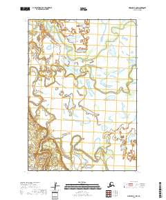
2018 Map of Marshall C-1 NW
USGS Topo · Published 2018About this map
Reindeer River meanders across this low-lying landscape, where the shifting hydrology of the Yukon-Kuskokwim Delta is documented during the late 2010s. The map illustrates a complex network of wetlands and small water bodies that define the terrain within the Kusilvak Census Area. The lack of road infrastructure and permanent settlements highlight the seasonal and remote nature of the region, where the river serves as the primary corridor through the marshy expanse. This survey provides a baseline for tracking the evolution of the Reindeer River drainage and the intricate township boundaries that divide this uninhabited part of Alaska.
Find a feature on this map
5 named features on this map. Tap any name to fly to it.
Don’t see what you’re looking for? This feature index may not catch every label — zoom into the map to look around manually.
Map Details
Editions of this 2018 Marshall C-1 NW Map
This is the sole edition of this map. No revisions or reprints were ever made.
Other maps of this area

1951 · Marshall
USGS Topo · 1:250,000

1952 · Marshall C-1
USGS Topo · 1:63,360
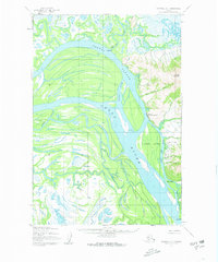
1952 · Marshall D-1
USGS Topo · 1:63,360
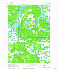
1952 · Marshall D-2
USGS Topo · 1:63,360
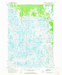
1954 · Marshall C-2
USGS Topo · 1:63,360

1954 · Marshall
USGS Topo · 1:250,000
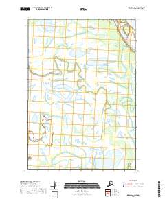
2018 · Marshall C-1 NE
USGS Topo · 1:25,000
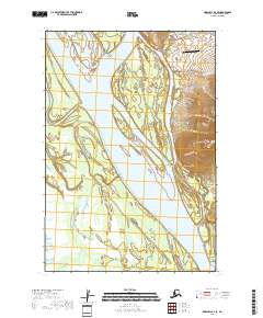
2018 · Marshall D-1 SE
USGS Topo · 1:25,000
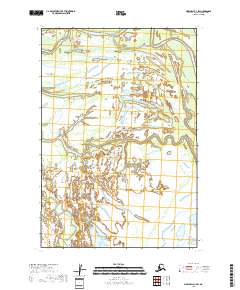
2018 · Marshall D-1 SW
USGS Topo · 1:25,000
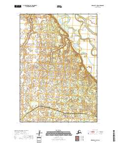
2018 · Marshall C-1 SW
USGS Topo · 1:25,000