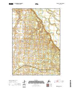
2018 Map of Marshall C-1 SW
USGS Topo · Published 2018About this map
Reindeer River meanders through the wetlands of western Alaska, tracing a complex path across a landscape defined by an intricate network of ponds and small lakes. This 2018 survey captures the hydrologic character of the tundra at the boundary of the Kusilvak Census Area and Bethel Census Area. The absence of roads or permanent settlements within this quadrangle emphasizes the seasonal and water-dependent nature of travel in the region. Mapping here relies on the Public Land Survey System to define boundaries across vast stretches of water and marsh, documenting a landscape where shifting river channels and seasonal water levels are the primary geographical features.
Find a feature on this map
8 named features on this map. Tap any name to fly to it.
Don’t see what you’re looking for? This feature index may not catch every label — zoom into the map to look around manually.
Map Details
Editions of this 2018 Marshall C-1 SW Map
This is the sole edition of this map. No revisions or reprints were ever made.
Other maps of this area

1951 · Marshall
USGS Topo · 1:250,000

1952 · Marshall C-1
USGS Topo · 1:63,360
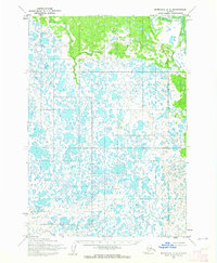
1954 · Marshall C-2
USGS Topo · 1:63,360
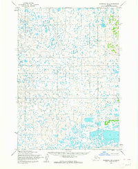
1954 · Marshall B-2
USGS Topo · 1:63,360
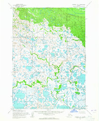
1954 · Marshall B-1
USGS Topo · 1:63,360

1954 · Marshall
USGS Topo · 1:250,000
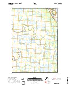
2018 · Marshall C-1 NE
USGS Topo · 1:25,000
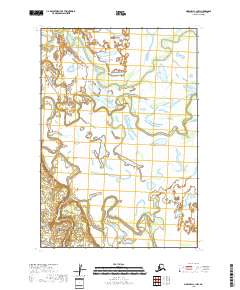
2018 · Marshall C-1 NW
USGS Topo · 1:25,000
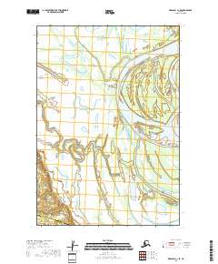
2018 · Marshall C-1 SE
USGS Topo · 1:25,000
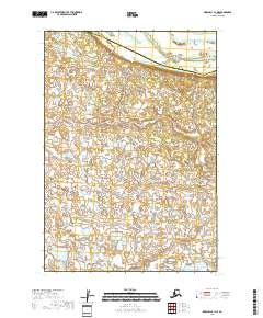
2018 · Marshall B-1 NE
USGS Topo · 1:25,000