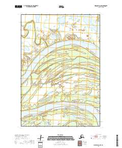
2018 Map of Marshall D-1 NW
USGS Topo · Published 2018About this map
The Yukon River dominates this interior Alaska landscape, carving a broad, shifting course through the Kusilvak Census Area. This 2018 survey documents the complex hydrological patterns of the river valley, where the primary channel is accompanied by the expansive Poltes Slough and the winding Center Slough. These interconnected waterways and wetlands define the region's geography, dictating the movement and subsistence patterns of the area. The presence of Owl Creek in the southern portion of the quadrangle further illustrates the dense network of tributaries that feed into the Yukon system. Mapping of township and range lines like t22n r71w and t21n r71w provides a precise framework for understanding land divisions in this remote riverine environment, where the shifting waters frequently redefine the shoreline and surrounding terrain.
Find a feature on this map
7 named features on this map. Tap any name to fly to it.
Don’t see what you’re looking for? This feature index may not catch every label — zoom into the map to look around manually.
Map Details
Editions of this 2018 Marshall D-1 NW Map
This is the sole edition of this map. No revisions or reprints were ever made.
Other maps of this area

1951 · Marshall
USGS Topo · 1:250,000

1952 · Kwiguk
USGS Topo · 1:250,000

1952 · Kwiguk A-1
USGS Topo · 1:63,360
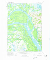
1952 · Marshall D-1
USGS Topo · 1:63,360
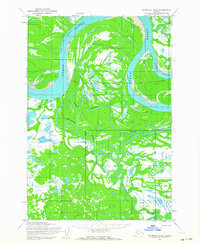
1952 · Marshall D-2
USGS Topo · 1:63,360

1954 · Marshall
USGS Topo · 1:250,000
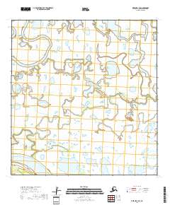
2018 · Kwiguk A-1 SW
USGS Topo · 1:25,000
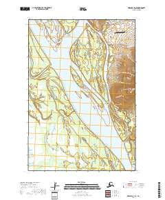
2018 · Marshall D-1 SE
USGS Topo · 1:25,000
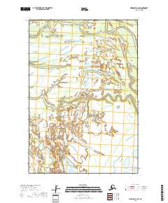
2018 · Marshall D-1 SW
USGS Topo · 1:25,000
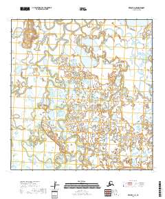
2018 · Kwiguk A-1 SE
USGS Topo · 1:25,000