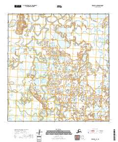
2018 Map of Kwiguk A-1 SE
USGS Topo · Published 2018About this map
Five Day Slough meanders through this portion of the Kusilvak Census Area, defining a landscape dominated by intricate wetland networks and shifting watercourses. This 2018 survey captures the hydrologic patterns of the Yukon Delta region, where the Kuyukutuk River cuts through the northeastern corner of the sheet. The lack of established roads or permanent settlements emphasizes the reliance on these natural waterways for transit and subsistence. The map provides a detailed record of township and range boundaries, including t23n r70w and t24n r70w, which are essential for contemporary land management and historical geographic studies in this part of Alaska.
Find a feature on this map
11 named features on this map. Tap any name to fly to it.
Don’t see what you’re looking for? This feature index may not catch every label — zoom into the map to look around manually.
Map Details
Editions of this 2018 Kwiguk A-1 SE Map
This is the sole edition of this map. No revisions or reprints were ever made.
Other maps of this area

1947 · Russian Mission
USGS Topo · 1:250,000

1950 · Russian Mission
USGS Topo · 1:250,000

1951 · Marshall
USGS Topo · 1:250,000

1951 · Holy Cross
USGS Topo · 1:250,000

1952 · Kwiguk
USGS Topo · 1:250,000

1952 · Kwiguk A-1
USGS Topo · 1:63,360

1952 · Holy Cross A-6
USGS Topo · 1:63,360

1952 · Holy Cross
USGS Topo · 1:250,000
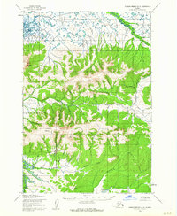
1952 · Russian Mission D-8
USGS Topo · 1:63,360
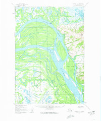
1952 · Marshall D-1
USGS Topo · 1:63,360