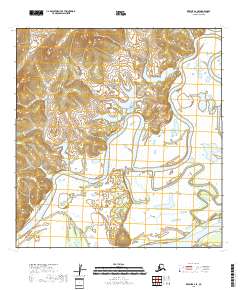
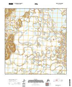
2018 Map of Kwiguk A-2 SE
USGS Topo · Published 2018About this map
The Yukon River defines the southern reach of this Kusilvak territory, flowing through a landscape dominated by the winding path of the Atchuelinguk River. The terrain is characterized by a dense network of wetlands and small water bodies that surround these primary waterways, illustrating the complex drainage patterns of the Alaskan interior. This 2018 survey by the U.S. Geological Survey utilizes satellite data from Spot and the National Hydrography Dataset to map the shifting hydrological features of the region. The map serves as a record of the river systems and township boundaries, including t23n r73w and t22n r72w, which organize this largely uninhabited stretch of the wilderness north of the Yukon's main channel.
Find a feature on this map
8 named features on this map. Tap any name to fly to it.
Don’t see what you’re looking for? This feature index may not catch every label — zoom into the map to look around manually.
Map Details
Editions of this 2018 Kwiguk A-2 SE Map
This is the sole edition of this map. No revisions or reprints were ever made.
Other maps of this area

1951 · Marshall
USGS Topo · 1:250,000

1952 · Kwiguk
USGS Topo · 1:250,000

1952 · Kwiguk A-2
USGS Topo · 1:63,360

1952 · Kwiguk A-1
USGS Topo · 1:63,360
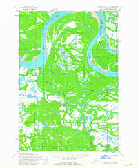
1952 · Marshall D-2
USGS Topo · 1:63,360

1952 · Marshall D-3
USGS Topo · 1:63,360

1954 · Marshall
USGS Topo · 1:250,000
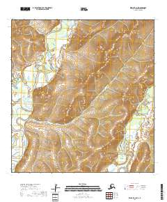
2018 · Kwiguk A-2 NW
USGS Topo · 1:25,000
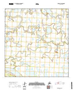
2018 · Kwiguk A-1 SW
USGS Topo · 1:25,000
2018 · Kwiguk A-1 NW
USGS Topo · 1:25,000