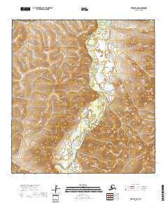
2018 Map of Kwiguk B-2 SW
USGS Topo · Published 2018About this map
The Andreafsky River winds through this sub-arctic terrain, serving as the dominant geographic feature in a landscape defined by extensive wetlands and complex hydraulic patterns. This 2018 survey reveals the braided nature of the waterway as it moves through the western reaches of the Nulato Hills, which rise to the east with dense contour lines indicating significant elevation changes compared to the river basin. The map is primarily an environmental record of the Kusilvak Census Area, showing the intersection of Township 26 North and Township 25 North. For researchers or conservationists, the level of detail regarding the river’s path and the surrounding marshland provides a clear baseline for studying the shifting hydrology of this part of the Alaskan interior.
Find a feature on this map
6 named features on this map. Tap any name to fly to it.
Don’t see what you’re looking for? This feature index may not catch every label — zoom into the map to look around manually.
Map Details
Editions of this 2018 Kwiguk B-2 SW Map
This is the sole edition of this map. No revisions or reprints were ever made.
Other maps of this area

1952 · Kwiguk
USGS Topo · 1:250,000

1952 · Kwiguk B-3
USGS Topo · 1:63,360

1952 · Kwiguk B-2
USGS Topo · 1:63,360

1952 · Kwiguk A-2
USGS Topo · 1:63,360

1952 · Kwiguk A-3
USGS Topo · 1:63,360
2018 · Kwiguk A-2 NW
USGS Topo · 1:25,000
2018 · Kwiguk B-2 SE
USGS Topo · 1:25,000
2018 · Kwiguk B-2 NW
USGS Topo · 1:25,000
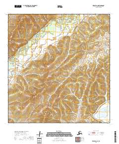
2018 · Kwiguk A-2 NE
USGS Topo · 1:25,000
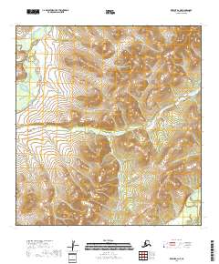
2018 · Kwiguk B-2 NE
USGS Topo · 1:25,000