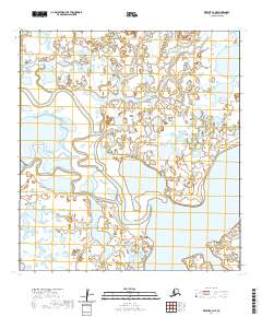
2020 Map of Kwiguk C-4 NE
USGS Topo · Published 2020About this map
Nanvaranak Slough meanders across this expansive landscape in the Kusilvak Census Area, revealing a complex network of waterways typical of the Yukon-Kuskokwim Delta. The water-dominated terrain is defined by the significant presence of Nanvaranak Lake, which anchors the southeastern portion of the map. This 2020 survey illustrates a region where land and water are inextricably linked, showing how the slough carves through the marshy lowland. The absence of roads or permanent settlements emphasizes the remote nature of this environment, where seasonal changes and water levels dictate the geography. Researchers can trace the intricate boundaries of various townships, including t30n r77w and t31n r76w, which provide a structural grid over the otherwise fluid and shifting hydraulic landscape.
Find a feature on this map
8 named features on this map. Tap any name to fly to it.
Don’t see what you’re looking for? This feature index may not catch every label — zoom into the map to look around manually.
Map Details
Editions of this 2020 Kwiguk C-4 NE Map
This is the sole edition of this map. No revisions or reprints were ever made.
Other maps of this area

1952 · Kwiguk
USGS Topo · 1:250,000

1952 · Kwiguk D-3
USGS Topo · 1:63,360

1952 · Kwiguk C-3
USGS Topo · 1:63,360

1952 · Kwiguk C-4
USGS Topo · 1:63,360

1952 · Kwiguk D-4
USGS Topo · 1:63,360
2020 · Kwiguk C-4 SE
USGS Topo · 1:25,000
2020 · Kwiguk C-3 SW
USGS Topo · 1:25,000
2020 · Kwiguk D-4 SW
USGS Topo · 1:25,000
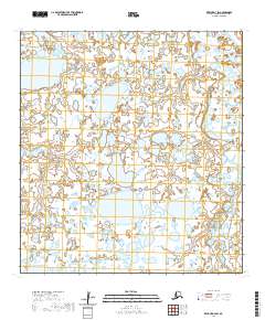
2020 · Kwiguk D-3 SW
USGS Topo · 1:25,000
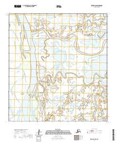
2020 · Kwiguk C-4 NW
USGS Topo · 1:25,000