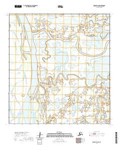
2020 Map of Kwiguk C-4 NW
USGS Topo · Published 2020About this map
New Hamilton stands as a focal point of human settlement on this map, situated along the complex braided channels of the lower Yukon River delta. The landscape is defined by the massive Kwikpak Pass, a major distributary that dominates the western half of the sheet. The intricate hydrology of the Kusilvak Census Area is further evidenced by smaller waterways like Nanvaranak Slough and Okfauchavuk Slough, which weave through the low-lying wetlands. The grid of township and range boundaries, including t31n r78w and t30n r78w, provides a formal structure to this remote terrain, illustrating how modern cartography organizes a vast, fluid environment where land and water frequently shift and merge.
Find a feature on this map
11 named features on this map. Tap any name to fly to it.
Don’t see what you’re looking for? This feature index may not catch every label — zoom into the map to look around manually.
Map Details
Editions of this 2020 Kwiguk C-4 NW Map
This is the sole edition of this map. No revisions or reprints were ever made.
Other maps of this area

1952 · Kwiguk
USGS Topo · 1:250,000

1952 · Kwiguk C-4
USGS Topo · 1:63,360

1952 · Kwiguk C-5
USGS Topo · 1:63,360

1952 · Kwiguk D-5
USGS Topo · 1:63,360

1952 · Kwiguk D-4
USGS Topo · 1:63,360
2020 · Kwiguk C-4 NE
USGS Topo · 1:25,000
2020 · Kwiguk C-4 SE
USGS Topo · 1:25,000
2020 · Kwiguk D-4 SW
USGS Topo · 1:25,000
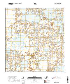
2020 · Kwiguk D-4 SE
USGS Topo · 1:25,000
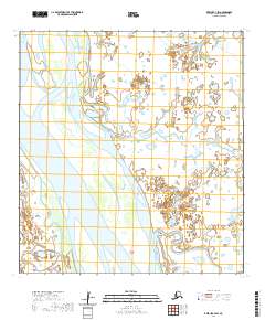
2020 · Kwiguk C-4 SW
USGS Topo · 1:25,000