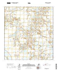
2020 Map of Kwiguk D-4 SW
USGS Topo · Published 2020About this map
Nunachik Pass and Kwikpak Pass define this water-dominated portion of the Kusilvak Census Area, where the shifting channels of the Yukon River delta create a complex maze of wetlands and seasonal ponds. The landscape is characterized by a dense network of hydrologic features, with nearly every square mile saturated by the low-lying coastal terrain. As part of a contemporary 2020 study by the U.S. Geological Survey, the map provides a precise record of the current shoreline and channel positions within this dynamic delta environment. The lack of named settlements or man-made structures on this sheet underscores the isolation of the region, highlighting instead the raw, unpopulated geography of the Alaskan tundra and its intricate waterway systems.
Find a feature on this map
7 named features on this map. Tap any name to fly to it.
Don’t see what you’re looking for? This feature index may not catch every label — zoom into the map to look around manually.
Map Details
Editions of this 2020 Kwiguk D-4 SW Map
This is the sole edition of this map. No revisions or reprints were ever made.
Other maps of this area

1952 · Kwiguk
USGS Topo · 1:250,000

1952 · Kwiguk C-4
USGS Topo · 1:63,360

1952 · Kwiguk C-5
USGS Topo · 1:63,360

1952 · Kwiguk D-5
USGS Topo · 1:63,360

1952 · Kwiguk D-4
USGS Topo · 1:63,360
2020 · Kwiguk D-4 NE
USGS Topo · 1:25,000
2020 · Kwiguk D-4 NW
USGS Topo · 1:25,000
2020 · Kwiguk C-4 NE
USGS Topo · 1:25,000
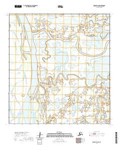
2020 · Kwiguk C-4 NW
USGS Topo · 1:25,000
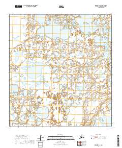
2020 · Kwiguk D-4 SE
USGS Topo · 1:25,000