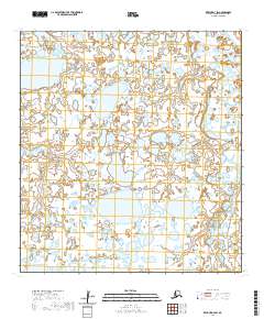
2020 Map of Kwiguk D-3 SW
USGS Topo · Published 2020About this map
Kotlik River and the meandering Pastolik River dominate this low-lying landscape within the Kusilvak Census Area. The terrain is characterized by an intricate network of wetlands and tundra ponds, illustrative of the Yukon-Kuskokwim Delta's complex hydrography. The map details the transition of these water bodies across township boundaries including t32n r76w and t31n r75w, where the rivers loop and bend through saturated soils. This 2020 survey provides a precise look at the shifting waterways and vast wetland tracts before they reach the Bering Sea, offering essential data for understanding the hydrological patterns of this subarctic environment.
Find a feature on this map
6 named features on this map. Tap any name to fly to it.
Don’t see what you’re looking for? This feature index may not catch every label — zoom into the map to look around manually.
Map Details
Editions of this 2020 Kwiguk D-3 SW Map
This is the sole edition of this map. No revisions or reprints were ever made.
Other maps of this area

1952 · Kwiguk
USGS Topo · 1:250,000

1952 · Kwiguk D-3
USGS Topo · 1:63,360

1952 · Kwiguk C-3
USGS Topo · 1:63,360

1952 · Kwiguk C-4
USGS Topo · 1:63,360

1952 · Kwiguk D-4
USGS Topo · 1:63,360
2020 · Kwiguk D-4 NE
USGS Topo · 1:25,000
2020 · Kwiguk C-4 NE
USGS Topo · 1:25,000
2020 · Kwiguk D-3 NW
USGS Topo · 1:25,000
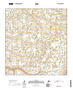
2020 · Kwiguk C-3 NE
USGS Topo · 1:25,000
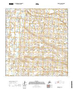
2020 · Kwiguk D-3 SE
USGS Topo · 1:25,000