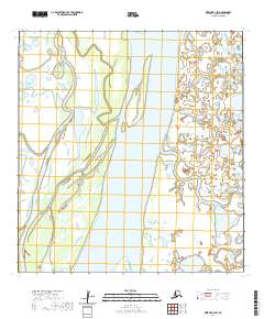
2020 Map of Kwiguk B-4 SW
USGS Topo · Published 2020About this map
The Yukon River dominates this portion of the Kusilvak Census Area, carving a massive path through a landscape defined by shifting watercourses and alluvial plains. This 2020 survey illustrates the complex hydrology of the region, where the main river body is joined by the Anuk River from the east. The presence of the Tunurokpak Channel to the west suggests the seasonal and historical movement of these waters across the low-lying terrain. While devoid of named settlements or man-made structures, the map provides a precise record of the natural boundaries within t26n r79w and t26n r78w. For those studying the remote geography of the Yukon Delta, these labels represent the primary landmarks in an otherwise fluid and ever-changing environment of wetlands and small ponds.
Find a feature on this map
7 named features on this map. Tap any name to fly to it.
Don’t see what you’re looking for? This feature index may not catch every label — zoom into the map to look around manually.
Map Details
Editions of this 2020 Kwiguk B-4 SW Map
This is the sole edition of this map. No revisions or reprints were ever made.
Other maps of this area

1952 · Kwiguk
USGS Topo · 1:250,000

1952 · Kwiguk A-5
USGS Topo · 1:63,360

1952 · Kwiguk B-5
USGS Topo · 1:63,360

1952 · Kwiguk A-4
USGS Topo · 1:63,360

1952 · Kwiguk B-4
USGS Topo · 1:63,360
2020 · Kwiguk A-4 NE
USGS Topo · 1:25,000
2020 · Kwiguk A-4 NW
USGS Topo · 1:25,000
2020 · Kwiguk B-4 NE
USGS Topo · 1:25,000
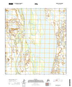
2020 · Kwiguk B-4 NW
USGS Topo · 1:25,000
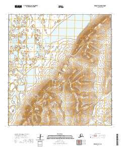
2020 · Kwiguk B-4 SE
USGS Topo · 1:25,000