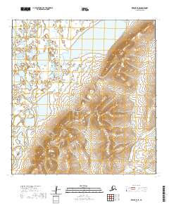
2020 Map of Kwiguk B-4 SE
USGS Topo · Published 2020About this map
Nulato Hills dominate the eastern reaches of this interior landscape, where the terrain transitions from the low-lying wetland complexes of the Yukon-Kuskokwim Delta into more pronounced elevations. This 2020 study highlights a region defined by its dynamic hydrography, notably the meandering course of the Archuelinguk River in the southeast and the Azuk River in the west. The map illustrates a complex network of unnamed ponds and marshes characteristic of the Kusilvak Census Area, providing an essential look at the land before further environmental or topographical shifts occur. Surveyed for the National Geospatial Program, the data reveals the intricate relationship between the elevated ridges and the vast drainage basins that feed into these primary waterways.
Find a feature on this map
7 named features on this map. Tap any name to fly to it.
Don’t see what you’re looking for? This feature index may not catch every label — zoom into the map to look around manually.
Map Details
Editions of this 2020 Kwiguk B-4 SE Map
This is the sole edition of this map. No revisions or reprints were ever made.
Other maps of this area

1952 · Kwiguk
USGS Topo · 1:250,000

1952 · Kwiguk B-3
USGS Topo · 1:63,360

1952 · Kwiguk A-4
USGS Topo · 1:63,360

1952 · Kwiguk A-3
USGS Topo · 1:63,360

1952 · Kwiguk B-4
USGS Topo · 1:63,360
2020 · Kwiguk B-3 NW
USGS Topo · 1:25,000
2020 · Kwiguk A-4 NE
USGS Topo · 1:25,000
2020 · Kwiguk A-3 NW
USGS Topo · 1:25,000
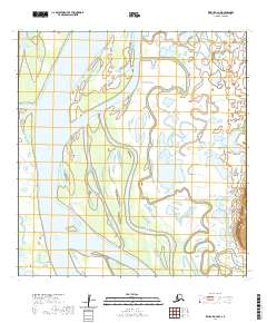
2020 · Kwiguk A-4 NW
USGS Topo · 1:25,000
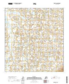
2020 · Kwiguk B-4 NE
USGS Topo · 1:25,000