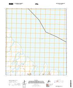
2020 Map of Saint Michael A-4 NE
USGS Topo · Published 2020About this map
Norton Sound defines the upper portion of this coastal survey, where the waters of the Bering Sea meet the intricate marshlands of the Yukon-Kuskokwim Delta. The map focuses on the transition from open sea to the shallow reaches of Pastol Bay, a region characterized by expansive wetlands and tidal flats that shift with the seasons. This 2020 update reflects the modern shoreline and hydrographic data, tracing the subtle waterways and landforms within the Kusilvak Census Area. While largely devoid of permanent settlements, the landscape is divided by the Public Land Survey System into townships such as T26S R26W and T27S R27W, providing a structural grid for this remote corner of the Alaskan coast.
Find a feature on this map
7 named features on this map. Tap any name to fly to it.
Don’t see what you’re looking for? This feature index may not catch every label — zoom into the map to look around manually.
Map Details
Editions of this 2020 Saint Michael A-4 NE Map
This is the sole edition of this map. No revisions or reprints were ever made.
Other maps of this area

1951 · St Michael
USGS Topo · 1:250,000
1952 · Saint Michael A-4
USGS Topo · 1:63,360
1952 · Saint Michael A-3
USGS Topo · 1:63,360

1952 · St Michael
USGS Topo · 1:250,000

1964 · St. Michael
USGS Topo · 1:250,000
2020 · Saint Michael A-4 SE
USGS Topo · 1:25,000
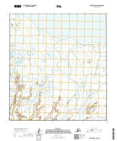
2020 · Saint Michael A-4 NW
USGS Topo · 1:25,000
2020 · Saint Michael A-4 OE N SW
USGS Topo · 1:25,000
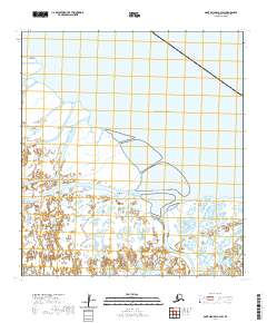
2020 · Saint Michael A-3 SW
USGS Topo · 1:25,000
2020 · Saint Michael A-4 OE N SE
USGS Topo · 1:25,000