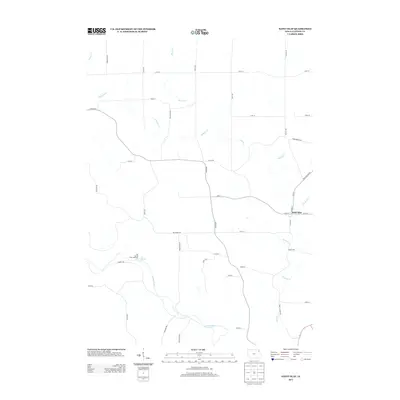
2013 Map of Saint Olaf
USGS Topo · Published 2013About this map
Saint Olaf serves as the primary community in this portion of Clayton County, situated near the intersection of Main St and W Hill St. The landscape is defined by the winding course of the Turkey River and its numerous tributaries, including Roberts Cr and Silver Cr. A significant local landmark is the Big Spring Trout Hatchery, located west of the river near Big Spring. The transportation network is a grid of rural avenues and roads such as Dogwood Ave and Gunder Rd, supporting the agricultural character of the region. The map also traces the path of Depot Rd, hinting at former rail connections that once influenced the settlement's growth and local economy during the twentieth century.
Find a feature on this map
40 named features on this map. Tap any name to fly to it.
Don’t see what you’re looking for? This feature index may not catch every label — zoom into the map to look around manually.
Map Details
Editions of this 2013 Saint Olaf Map
This is the sole edition of this map. No revisions or reprints were ever made.
Other maps of this area

1901 · Oelwein
USGS Topo · 1:125,000

1902 · Elkader
USGS Topo · 1:125,000

1903 · Waukon
USGS Topo · 1:125,000

1906 · Decorah
USGS Topo · 1:125,000

1958 · La Crosse
USGS Topo · 1:250,000

1959 · Dubuque
USGS Topo · 1:250,000

1961 · Dubuque
USGS Topo · 1:250,000

1961 · La Crosse
USGS Topo · 1:250,000

1962 · Dubuque
USGS Topo · 1:250,000
1964 · Littleport
USGS Topo · 1:24,000