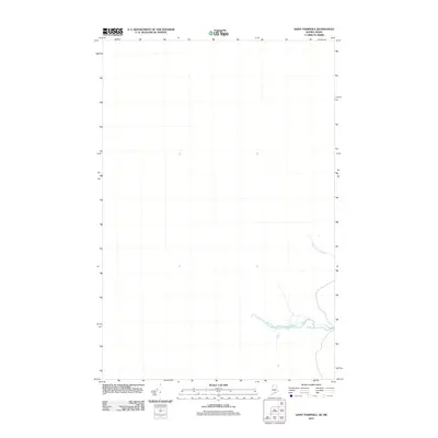
2011 Map of Saint Pamphile
USGS Topo · Published 2011About this map
The northern international border between Quebec and Maine defines this landscape, where the Ninemile Deadwater winds through the southeastern portion of the quadrangle. This 2011 survey by the U.S. Geological Survey provides a precise view of the remote woodlands and hydraulic systems along the frontier. The area is characterized by low-lying waterways, most notably Saint Amants Brook, which flows through the eastern sector. Because this section of the border is sparsely settled, the map focuses heavily on the natural hydrography and the established road network that facilitates cross-border movement and local forestry in the vicinity of Saint Pamphile.
Find a feature on this map
2 named features on this map. Tap any name to fly to it.
Don’t see what you’re looking for? This feature index may not catch every label — zoom into the map to look around manually.
Map Details
Editions of this 2011 Saint Pamphile Map
This is the sole edition of this map. No revisions or reprints were ever made.
Other maps of this area

1954 · Presque Isle
USGS Topo · 1:250,000

1955 · Little East Lake
USGS Topo · 1:62,500

1955 · Depot Lake
USGS Topo · 1:62,500

1955 · Seven Islands
USGS Topo · 1:62,500

1958 · Presque Isle
USGS Topo · 1:250,000

1960 · Presque Isle
USGS Topo · 1:250,000

1962 · Edmundston
USGS Topo · 1:250,000

1976 · Depot Lake
USGS Topo · 1:24,000
1976 · St. Pamphile
USGS Topo · 1:24,000
1977 · St. Adalbert
USGS Topo · 1:24,000