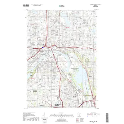
2019 Map of Saint Paul East
USGS Topo · Published 2019About this map
The Mississippi River corridor dominates this 2019 survey, carving through the heart of St. Paul and defining the borders of several East Metro communities. To the north and east, the landscape is dotted with prominent water bodies like Lake Phalen and Beaver Lake, while the river itself features landforms such as Raspberry Island and Harriet Island. This particular map is a significant resource for genealogists, as it documents a high concentration of established burial grounds, including the historic Oakland Cem, Mount Zion Cem, and Sons of Jacob Cem.
Find a feature on this map
73 named features on this map. Tap any name to fly to it.
Don’t see what you’re looking for? This feature index may not catch every label — zoom into the map to look around manually.
Map Details
Editions of this 2019 Saint Paul East Map
This is the sole edition of this map. No revisions or reprints were ever made.
Other maps of this area

1896 · St. Paul
USGS Topo · 1:62,500

1902 · White Bear
USGS Topo · 1:62,500

1946 · Hudson
USGS Topo · 1:62,500

1948 · Stillwater
USGS Topo · 1:62,500

1949 · Hudson
USGS Topo · 1:62,500

1949 · Stillwater
USGS Topo · 1:62,500

1949 · Lake Elmo
USGS Topo · 1:24,000

1950 · Lake Elmo
USGS Topo · 1:24,000

1950 · St Paul Park
USGS Topo · 1:24,000

1951 · St Paul Park
USGS Topo · 1:24,000