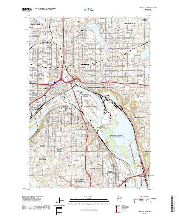
2022 Map of Saint Paul East
USGS Topo · Published 2022About this map
The Mississippi River corridor dominates this perspective of eastern St. Paul and its surrounding suburbs, revealing the dense urban-industrial interface where the river bends south. Major infrastructure like the St Paul Downtown Airport Holman Field and the sprawling Mississippi National River and Recreation Area occupy the lowlands near Pigs Eye Lake, highlighting the dual role of the river as both a commercial artery and a conserved natural space. The map detail extends from the civic heart at the Ramsey County Courthouse and Minnesota Judicial Center out to the established neighborhoods of Maplewood, Roseville, and North St. Paul. For genealogists and local historians, the sheet is particularly valuable for its density of burial grounds, including Elmhurst Cem, Oakland Cem, and Sons of Jacob Cem, alongside the rail corridors of the Burlington RR.
Find a feature on this map
74 named features on this map. Tap any name to fly to it.
Don’t see what you’re looking for? This feature index may not catch every label — zoom into the map to look around manually.
Map Details
Editions of this 2022 Saint Paul East Map
This is the sole edition of this map. No revisions or reprints were ever made.
Other maps of this area

1896 · St. Paul
USGS Topo · 1:62,500

1902 · White Bear
USGS Topo · 1:62,500

1946 · Hudson
USGS Topo · 1:62,500

1948 · Stillwater
USGS Topo · 1:62,500

1949 · Hudson
USGS Topo · 1:62,500

1949 · Stillwater
USGS Topo · 1:62,500

1949 · Lake Elmo
USGS Topo · 1:24,000

1950 · Lake Elmo
USGS Topo · 1:24,000

1950 · St Paul Park
USGS Topo · 1:24,000

1951 · St Paul Park
USGS Topo · 1:24,000