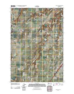
2011 Map of Saint Paul
USGS Topo · Published 2011About this map
French Prairie dominates this region of Marion County, where the agricultural landscape is defined by the winding course of the Willamette River and its numerous tributaries. The settlement of Saint Paul serves as a local hub, featuring the Saint Paul Post Office and Saint Paul Cemetery. To the northeast, the historic area of Champoeg sits near the confluence of Mission Creek and the river, a site of significant early Oregon history.
Find a feature on this map
64 named features on this map. Tap any name to fly to it.
Don’t see what you’re looking for? This feature index may not catch every label — zoom into the map to look around manually.
Map Details
Editions of this 2011 Saint Paul Map
This is the sole edition of this map. No revisions or reprints were ever made.
Other maps of this area

1916 · Tualatin
USGS Topo · 1:62,500

1923 · Mount Angel
USGS Topo · 1:62,500

1924 · Mc Minnville
USGS Topo · 1:48,000

1926 · Mc Minnville
USGS Topo · 1:62,500

1939 · Tualatin
USGS Topo · 1:62,500

1940 · McMinnville
USGS Topo · 1:62,500

1940 · Tualatin
USGS Topo · 1:62,500

1940 · Mount Angel
USGS Topo · 1:62,500

1941 · Yamhill
USGS Topo · 1:62,500

1942 · Yamhill
USGS Topo · 1:62,500