Loading...
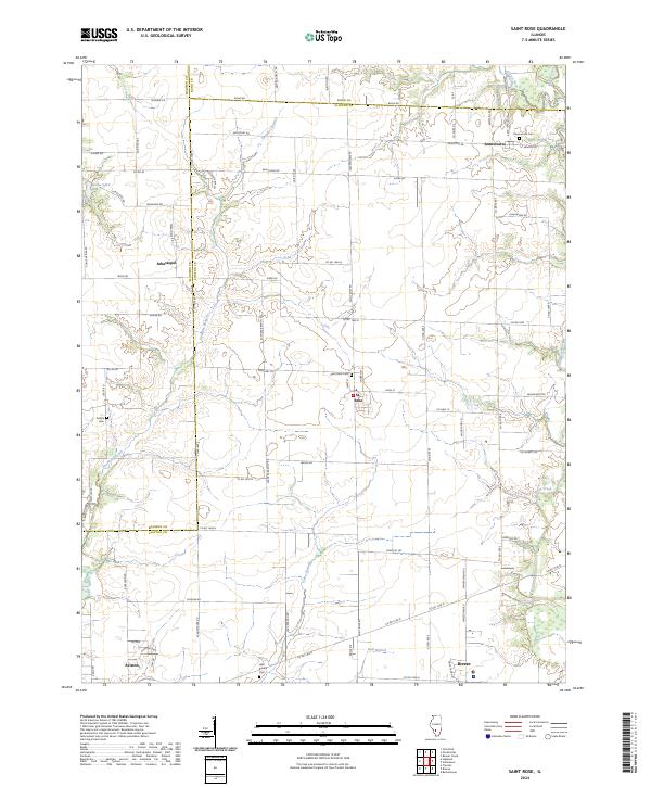
Loading map...2024 Map of Saint Rose
USGS Topo · Published 2024About this map
St. Rose and Jamestown anchor this rural landscape where the boundaries of Madison, Bond, and Clinton counties meet. The terrain is defined by a dendritic network of waterways, including Shoal Creek to the east and the winding Spanker Branch and Locust Fork to the north. These streams dictate the positioning of local landmarks and roads, such as Klaus Lake and the various family-named routes like Baumann Rd and Iberg Rd.
Find a feature on this map
55 named features on this map. Tap any name to fly to it.
Don’t see what you’re looking for? This feature index may not catch every label — zoom into the map to look around manually.
Map Details
Date Portrayed2024
Date Published2024
PublisherU.S. Geological Survey
Map TypeTopographic
Scale1:24000
Physical Dimensions24 x 29 inches
Editions of this 2024 Saint Rose Map
This is the sole edition of this map. No revisions or reprints were ever made.
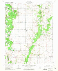
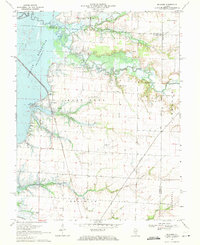
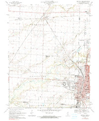
Historical Maps of Jamestown Through Time
7 maps found
Featured Locations
Source Details
SourceU.S. Geological Survey
CopyrightPublic Domain