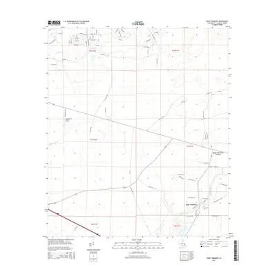
2015 Map of Saint Tammany
USGS Topo · Published 2015About this map
Saint Tammany and Saint Tammany Corner anchor this portion of the Northshore, where the low-lying coastal plains meet the advancing residential development of the 21st century. The landscape is defined by the winding course of Lacombe Bayou and the smaller drainage of English Br and Abita Cr. Local history is preserved at the Peace Grove Cem and Crow Cem, which stand as quiet landmarks amidst the grid of evolving neighborhood streets.
Find a feature on this map
73 named features on this map. Tap any name to fly to it.
Don’t see what you’re looking for? This feature index may not catch every label — zoom into the map to look around manually.
Map Details
Editions of this 2015 Saint Tammany Map
This is the sole edition of this map. No revisions or reprints were ever made.
Other maps of this area

1935 · Slidell
USGS Topo · 1:62,500

1935 · Covington
USGS Topo · 1:62,500

1939 · Slidell
USGS Topo · 1:62,500

1939 · Covington
USGS Topo · 1:62,500

1942 · Waldheim
USGS Topo · 1:31,680

1942 · Talisheek
USGS Topo · 1:31,680

1942 · Walkiah Bluff
USGS Topo · 1:31,680

1950 · Slidell
USGS Topo · 1:62,500

1950 · Covington
USGS Topo · 1:62,500

1953 · Mobile
USGS Topo · 1:250,000