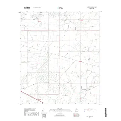
2020 Map of Saint Tammany
USGS Topo · Published 2020About this map
Saint Tammany and its surrounding wetlands occupy this 2020 landscape, where the flat coastal geography is defined by water and aviation. In the southeast, Lacombe Bayou meanders through the terrain near the namesake settlement, which is home to local burial grounds including Peace Grove Cem and Crow Cem. The northern section of the map shows a specialized residential layout with streets like Bobby Jones Blvd, Hillcrest Blvd, and Snead Dr, suggesting a planned community or golf-oriented development. To the west, the St Tammany Regional Airport serves as a major transportation landmark. The natural drainage of the area is highlighted by English Br and the expansive Gum Swamp, illustrating the transition from developed residential zones to the preserved marshes and bayous characteristic of St. Tammany Parish.
Find a feature on this map
74 named features on this map. Tap any name to fly to it.
Don’t see what you’re looking for? This feature index may not catch every label — zoom into the map to look around manually.
Map Details
Editions of this 2020 Saint Tammany Map
This is the sole edition of this map. No revisions or reprints were ever made.
Other maps of this area

1935 · Slidell
USGS Topo · 1:62,500

1935 · Covington
USGS Topo · 1:62,500

1939 · Slidell
USGS Topo · 1:62,500

1939 · Covington
USGS Topo · 1:62,500

1942 · Waldheim
USGS Topo · 1:31,680

1942 · Talisheek
USGS Topo · 1:31,680

1942 · Walkiah Bluff
USGS Topo · 1:31,680

1950 · Slidell
USGS Topo · 1:62,500

1950 · Covington
USGS Topo · 1:62,500

1953 · Mobile
USGS Topo · 1:250,000