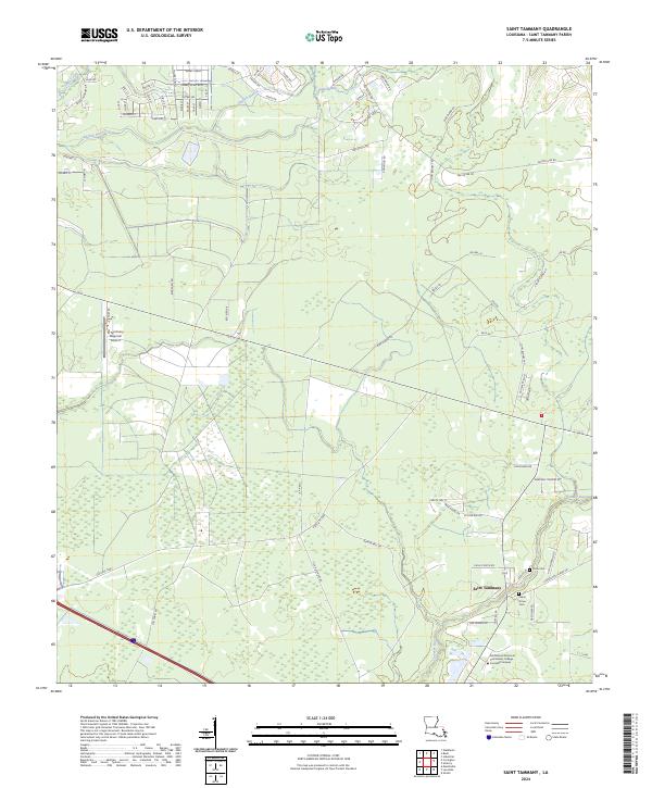
2024 Map of Saint Tammany
USGS Topo · Published 2024About this map
Lacombe Bayou and its surrounding wetlands form the core of this landscape in Saint Tammany Parish, reflecting the complex hydrology of the Louisiana piney woods and coastal marshes. The settlement of Saint Tammany serves as a focal point, situated near several local landmarks including the Northshore-Technical Community College Lacombe Campus. Genealogists and local historians will find family-named roads and burial grounds such as Peace Grove Cem and Crow Cem, which provide specific points of interest for tracing lineage in the region. To the northwest, the St Tammany Regional Airport highlights the area's modern infrastructure. The map also delineates natural features like Gum Swamp and Abita Creek, illustrating the environmental character of the Gulf Coastal Plain as it is managed and developed in the current era.
Find a feature on this map
80 named features on this map. Tap any name to fly to it.
Don’t see what you’re looking for? This feature index may not catch every label — zoom into the map to look around manually.
Map Details
Editions of this 2024 Saint Tammany Map
This is the sole edition of this map. No revisions or reprints were ever made.
Other maps of this area

1935 · Slidell
USGS Topo · 1:62,500

1935 · Covington
USGS Topo · 1:62,500

1939 · Slidell
USGS Topo · 1:62,500

1939 · Covington
USGS Topo · 1:62,500

1942 · Waldheim
USGS Topo · 1:31,680

1942 · Talisheek
USGS Topo · 1:31,680

1942 · Walkiah Bluff
USGS Topo · 1:31,680

1950 · Slidell
USGS Topo · 1:62,500

1950 · Covington
USGS Topo · 1:62,500

1953 · Mobile
USGS Topo · 1:250,000