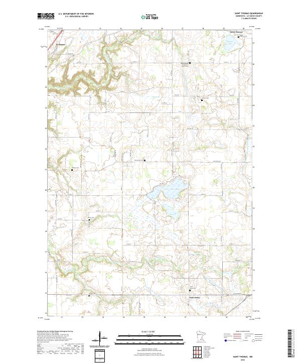
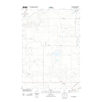
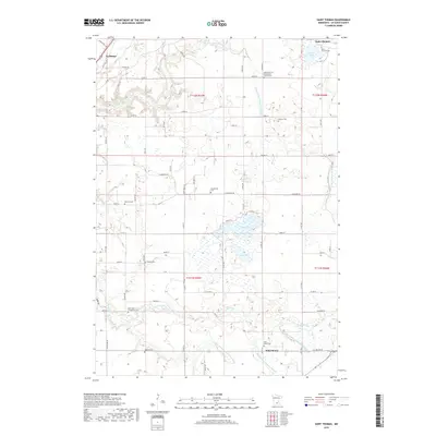
2022 Map of Saint Thomas
USGS Topo · Published 2022About this map
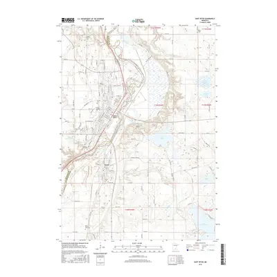
Le Sueur and the rural townships of Le Sueur County are defined by a sophisticated network of water management and scattered pioneer burial grounds. This landscape is intricately drained by a system of named waterways including Forest Prairie Cr, Le Sueur Cr, and numerous artificial channels like County Ditch Number Thirtyfour and County Ditch Number Fiftyone. These ditches reflect the intensive agricultural transformation of the wet prairie, connecting natural bodies such as Thomas Lake, Rice Lake, and Ely Lake.
Find a feature on this map
49 named features on this map. Tap any name to fly to it.
Don’t see what you’re looking for? This feature index may not catch every label — zoom into the map to look around manually.
Map Details
Editions of this 2022 Saint Thomas Map
This is the sole edition of this map. No revisions or reprints were ever made.
Historical Maps of Le Sueur Through Time
18 maps found
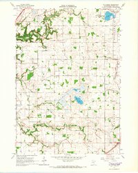
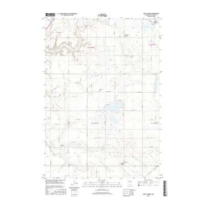
1965 St Thomas
Le Sueur County, MN
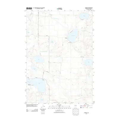
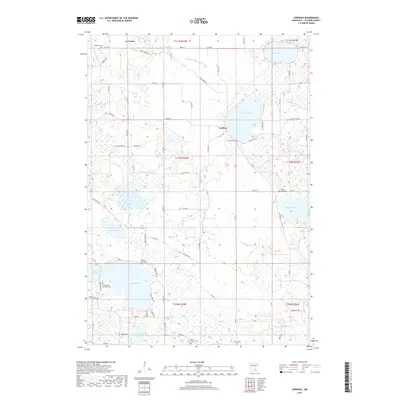
1966 Cordova
Le Sueur County, MN
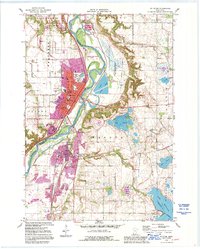
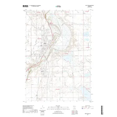
1991 St Peter
Le Sueur County, MN
2010 Cordova
Le Sueur County, MN
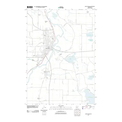
2010 Saint Peter
Le Sueur County, MN
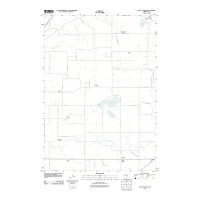
2010 Saint Thomas
Le Sueur County, MN
2013 Cordova
Le Sueur County, MN
2013 Saint Peter
Le Sueur County, MN
2013 Saint Thomas
Le Sueur County, MN
2016 Cordova
Le Sueur County, MN
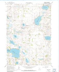
2016 Saint Peter
Le Sueur County, MN
2016 Saint Thomas
Le Sueur County, MN
2019 Cordova
Le Sueur County, MN
2019 Saint Peter
Le Sueur County, MN
2019 Saint Thomas
Le Sueur County, MN
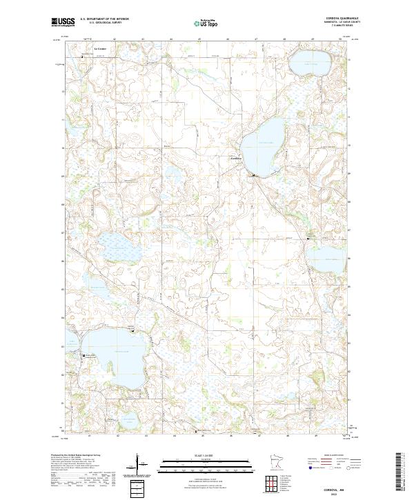
2022 Cordova
Le Sueur County, MN
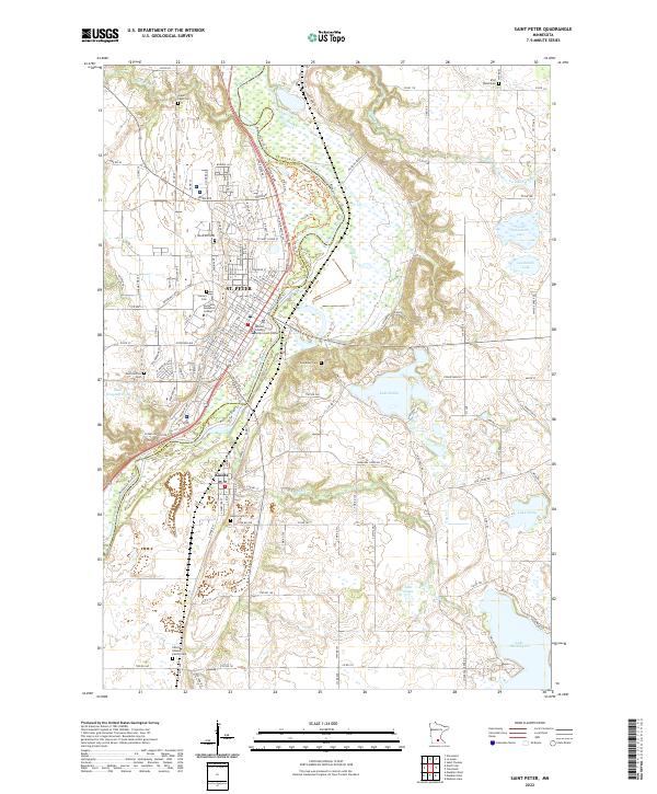
2022 Saint Peter
Le Sueur County, MN
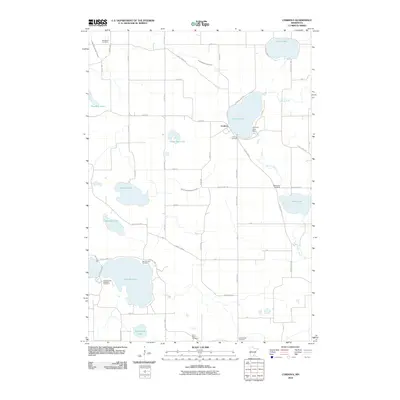
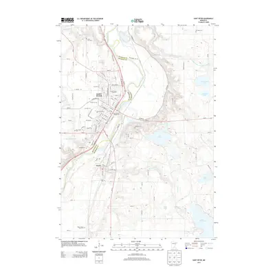
2022 Saint Thomas
Le Sueur County, MN
Featured Locations
- Le Sueur, MN
- Saint Henry, MN
- Tyrone Township, MN
- Derrynane Township, MN
- Saint Thomas, Derrynane Township