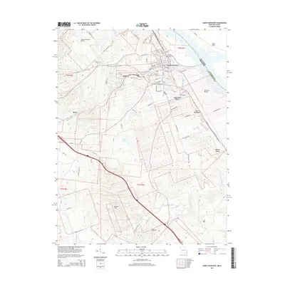
2015 Map of Sainte Genevieve
USGS Topo · Published 2015About this map
Sainte Genevieve serves as the focal point of this Mississippi River landscape, where the Missouri-Illinois border follows the main channel near Moro Island. The town's historic layout is captured alongside established local landmarks like the Ste Genevieve Flying Club and Memorial Park. Beyond the main settlement, the map traces a transition from the agricultural lowlands of the Bois Brule Bottom to the higher elevations of the Beckett Hills and Lick Hill. Smaller communities and industrial pockets are documented at Mosher, Quarry Town, and Ozora. The area's genealogical value is anchored by the Valle Spring Cemetery and Holy Cross Cemetery, while the hydrological network of Gabouri Cr and River aux Vases illustrates the drainage patterns that have long defined this riverbank territory.
Find a feature on this map
89 named features on this map. Tap any name to fly to it.
Don’t see what you’re looking for? This feature index may not catch every label — zoom into the map to look around manually.
Map Details
Editions of this 2015 Sainte Genevieve Map
This is the sole edition of this map. No revisions or reprints were ever made.
Other maps of this area

1907 · Weingarten
USGS Topo · 1:62,500

1909 · Weingarten
USGS Topo · 1:62,500

1912 · Baldwin
USGS Topo · 1:62,500

1914 · Baldwin
USGS Topo · 1:62,500

1915 · Renault
USGS Topo · 1:62,500

1915 · Chester
USGS Topo · 1:62,500

1940 · Renault
USGS Topo · 1:62,500

1942 · Baldwin
USGS Topo · 1:62,500

1947 · Chester
USGS Topo · 1:62,500

1949 · Saint Louis
USGS Topo · 1:250,000