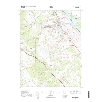
2017 Map of Sainte Genevieve
USGS Topo · Published 2017About this map
Ste. Genevieve and the historic riverfront of the Mississippi River define this 2017 survey, where Missouri meets Illinois across a shifting aquatic boundary. The landscape transitions from the developed grid of the city, through the suburban reaches of Saint Jude Acres, into the lower elevations of the Bois Brule Bottom. Significant local history and genealogy are preserved in sites like the Valle Spring Cem and Holy Cross Lutheran Cem, while the settlement at New Bourbon reflects the region's enduring French colonial heritage.
Find a feature on this map
100 named features on this map. Tap any name to fly to it.
Don’t see what you’re looking for? This feature index may not catch every label — zoom into the map to look around manually.
Map Details
Editions of this 2017 Sainte Genevieve Map
This is the sole edition of this map. No revisions or reprints were ever made.
Other maps of this area

1907 · Weingarten
USGS Topo · 1:62,500

1909 · Weingarten
USGS Topo · 1:62,500

1912 · Baldwin
USGS Topo · 1:62,500

1914 · Baldwin
USGS Topo · 1:62,500

1915 · Renault
USGS Topo · 1:62,500

1915 · Chester
USGS Topo · 1:62,500

1940 · Renault
USGS Topo · 1:62,500

1942 · Baldwin
USGS Topo · 1:62,500

1947 · Chester
USGS Topo · 1:62,500

1949 · Saint Louis
USGS Topo · 1:250,000