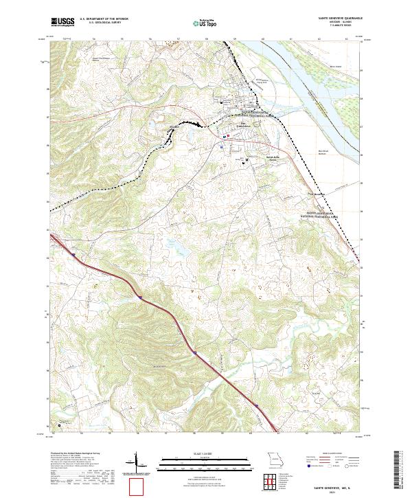
2021 Map of Sainte Genevieve
USGS Topo · Published 2021About this map
Sainte Genevieve National Historical Park preserves the complex architectural and cultural landscape of this early colonial site along the Mississippi River. This modern topographic study shows the town of Ste. Genevieve and its surrounding agricultural and industrial areas, including the Burlington Northern Santa Fe RR corridor. The geography is characterized by the flat Bois Brule Bottom and Moro Island in the river valley, transitioning sharply to the Beckett Hills and Lick Hill to the south. Local history is deeply embedded in the map via numerous burial sites like Holy Cross Lutheran Cem, Memorial Cem, and Saints Philip and James Cem. Significant civic landmarks include the Sainte Genevieve County Courthouse and the Ste Genevieve Flying Club. From the smaller settlements of Mosher and New Bourbon to the drainage of River aux Vases, the map tracks the persistence of early French colonial place-names in a contemporary landscape.
Find a feature on this map
87 named features on this map. Tap any name to fly to it.
Don’t see what you’re looking for? This feature index may not catch every label — zoom into the map to look around manually.
Map Details
Editions of this 2021 Sainte Genevieve Map
This is the sole edition of this map. No revisions or reprints were ever made.
Other maps of this area

1907 · Weingarten
USGS Topo · 1:62,500

1909 · Weingarten
USGS Topo · 1:62,500

1912 · Baldwin
USGS Topo · 1:62,500

1914 · Baldwin
USGS Topo · 1:62,500

1915 · Renault
USGS Topo · 1:62,500

1915 · Chester
USGS Topo · 1:62,500

1940 · Renault
USGS Topo · 1:62,500

1942 · Baldwin
USGS Topo · 1:62,500

1947 · Chester
USGS Topo · 1:62,500

1949 · Saint Louis
USGS Topo · 1:250,000