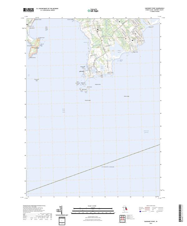
2024 Map of Sakonnet Point
USGS Topo · Published 2024About this map
The coastal landscape of Little Compton and Middletown is dominated by the Sachuest Point National Wildlife Refuge and the rugged southern tip of the Sachuest Peninsula. This modern survey reveals a region defined by historical family plots and maritime landmarks, where the Atlantic shoreline is punctuated by Sakonnet Point and the protected waters of Briggs Marsh. The map provides significant genealogical value through the documentation of numerous small, family-named burial sites such as the Old Wilbor Burying Ground Cem and the Seaconnet Cem. These sites, alongside larger holdings like the Briggs Brownell Lot Cem, reflect the deep-rooted agricultural and seafaring lineage of Rhode Island's southernmost reaches. Settlement clusters at Sakonnet and Woods Castle are connected by a network of historic thoroughfares including W Main Rd and Warrens Point Rd, which wind past secluded coastal ponds like Watch House Pond and Round Pond.
Find a feature on this map
78 named features on this map. Tap any name to fly to it.
Don’t see what you’re looking for? This feature index may not catch every label — zoom into the map to look around manually.
Map Details
Editions of this 2024 Sakonnet Point Map
This is the sole edition of this map. No revisions or reprints were ever made.
Other maps of this area

1885 · Sakonnet
USGS Topo · 1:62,500

1888 · Fall River
USGS Topo · 1:62,500

1888 · Sakonnet
USGS Topo · 1:62,500

1889 · Newport
USGS Topo · 1:62,500

1890 · Narragansett Bay
USGS Topo · 1:62,500

1892 · Narragansett Bay
USGS Topo · 1:62,500

1893 · Sakonnet
USGS Topo · 1:62,500

1893 · Fall River
USGS Topo · 1:62,500

1894 · Newport
USGS Topo · 1:62,500

1904 · Newport
USGS Topo · 1:62,500