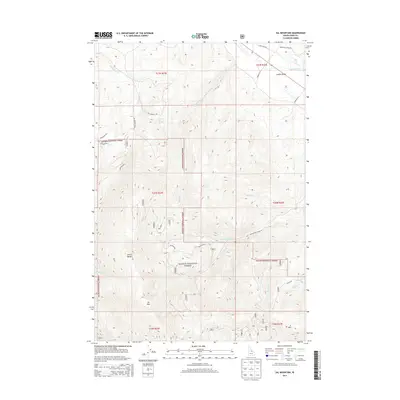
2013 Map of Sal Mountain
USGS Topo · Published 2013About this map
Salmon National Forest dominates this section of the Lemhi Range, where high-elevation drainage systems feed into the Lemhi River valley. The presence of Salmon Hot Spring and the nearby Hot Spring Cr in the northern portion of the quadrangle suggests a landscape defined by geothermal activity and seasonal runoff. Rugged peaks like Sal Mtn and K Mtn anchor the southern terrain, while several named drainages including Mulkey Cr, Baker Cr, and Withington Cr carve through the national forest boundaries. The transportation network is primarily composed of forest and valley roads such as Barracks Ln and Old Lemhi Rd, illustrating the intersection of mountain wilderness and the ranching or agricultural activity focused along the river corridor in the northeast.
Find a feature on this map
29 named features on this map. Tap any name to fly to it.
Don’t see what you’re looking for? This feature index may not catch every label — zoom into the map to look around manually.
Map Details
Editions of this 2013 Sal Mountain Map
This is the sole edition of this map. No revisions or reprints were ever made.
Other maps of this area

1950 · Salmon
USGS Topo · 1:62,500

1951 · Salmon
USGS Topo · 1:62,500

1955 · Dubois
USGS Topo · 1:250,000

1955 · Dillon
USGS Topo · 1:250,000

1956 · Goldstone Mtn
USGS Topo · 1:62,500

1956 · Lemhi
USGS Topo · 1:62,500

1957 · Dillon
USGS Topo · 1:250,000

1958 · Dubois
USGS Topo · 1:250,000

1958 · Dillon
USGS Topo · 1:250,000

1962 · Dillon
USGS Topo · 1:250,000