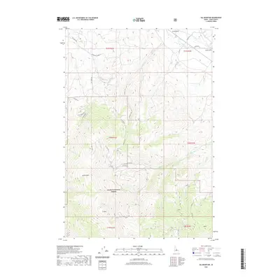
2020 Map of Sal Mountain
USGS Topo · Published 2020About this map
The Lemhi Range and Lemhi Valley define this section of Lemhi County, where high peaks like Sal Mtn and K Mtn overlook a complex network of canyons and creeks. Much of the southern and western terrain is protected within the Salmon National Forest, characterized by steep drainage systems such as Withington Creek and Cheney Creek. In the north, the landscape transitions toward the Lemhi River valley, where historical road systems like Hot Spring Rd and Lemhi Rd follow the natural contours of the land.
Find a feature on this map
44 named features on this map. Tap any name to fly to it.
Don’t see what you’re looking for? This feature index may not catch every label — zoom into the map to look around manually.
Map Details
Editions of this 2020 Sal Mountain Map
This is the sole edition of this map. No revisions or reprints were ever made.
Other maps of this area

1950 · Salmon
USGS Topo · 1:62,500

1951 · Salmon
USGS Topo · 1:62,500

1955 · Dubois
USGS Topo · 1:250,000

1955 · Dillon
USGS Topo · 1:250,000

1956 · Goldstone Mtn
USGS Topo · 1:62,500

1956 · Lemhi
USGS Topo · 1:62,500

1957 · Dillon
USGS Topo · 1:250,000

1958 · Dubois
USGS Topo · 1:250,000

1958 · Dillon
USGS Topo · 1:250,000

1962 · Dillon
USGS Topo · 1:250,000