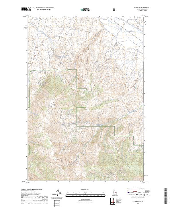
2024 Map of Sal Mountain
USGS Topo · Published 2024About this map
The Lemhi Range rises sharply from the Lemhi Valley floor, dominated by the prominent peaks of Sal Mtn and K Mtn. This modern survey details a landscape where the Lemhi River meanders through the valley basin, fed by numerous descending waterways such as Hot Spring Creek and Withington Creek. The eastern slopes are heavily defined by the boundaries of the Salmon National Forest, where a network of trails and roads, including the Mulkey Creek Trl and Withington Creek Rd, provide access to the high backcountry.
Find a feature on this map
33 named features on this map. Tap any name to fly to it.
Don’t see what you’re looking for? This feature index may not catch every label — zoom into the map to look around manually.
Map Details
Editions of this 2024 Sal Mountain Map
This is the sole edition of this map. No revisions or reprints were ever made.
Other maps of this area

1950 · Salmon
USGS Topo · 1:62,500

1951 · Salmon
USGS Topo · 1:62,500

1955 · Dubois
USGS Topo · 1:250,000

1955 · Dillon
USGS Topo · 1:250,000

1956 · Goldstone Mtn
USGS Topo · 1:62,500

1956 · Lemhi
USGS Topo · 1:62,500

1957 · Dillon
USGS Topo · 1:250,000

1958 · Dubois
USGS Topo · 1:250,000

1958 · Dillon
USGS Topo · 1:250,000

1962 · Dillon
USGS Topo · 1:250,000