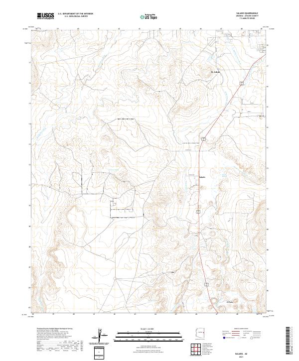
2021 Map of Salado
USGS Topo · Published 2021About this map
St. Johns and the surrounding high desert of Apache County are defined by a complex network of irrigation and seasonal watercourses. The Little Colorado River winds through the eastern portion of the terrain, supported by an extensive system of man-made waterways including the Lyman Ditch, Middle Lyman Ditch, Upper Lyman Ditch, and Lower Lyman Ditch. These features reflect a long history of water management essential for sustaining life and agriculture in this arid landscape.
Find a feature on this map
25 named features on this map. Tap any name to fly to it.
Don’t see what you’re looking for? This feature index may not catch every label — zoom into the map to look around manually.
Map Details
Editions of this 2021 Salado Map
This is the sole edition of this map. No revisions or reprints were ever made.
Other maps of this area

1886 · St Johns
USGS Topo · 1:250,000

1892 · St Johns
USGS Topo · 1:250,000

1954 · Saint Johns
USGS Topo · 1:250,000

1955 · Adamana 4 SE
USGS Topo · 1:24,000

1955 · Wolford Springs 3 SW
USGS Topo · 1:24,000

1955 · Hunt
USGS Topo · 1:62,500

1957 · Saint Johns
USGS Topo · 1:250,000

1958 · Saint Johns
USGS Topo · 1:250,000

1962 · Saint Johns
USGS Topo · 1:250,000
1971 · Cerro Hueco
USGS Topo · 1:24,000