
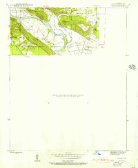
1942 Map of Salado
USGS Topo · Published 1945About this map
The White River carves a winding path through Independence County, defining the rural character of this mid-century landscape. To the north, the small settlement of Moorefield and the site at Montgomery Sprs sit near the river's bend, while the southern terrain is dominated by a series of distinct ridges. These heights include Pine Mtn, Qualls Mtn, and Caldwell Mtn, which frame the lowlands and the local drainage of Rutherford Creek.
Find a feature on this map
12 named features on this map. Tap any name to fly to it.
Don’t see what you’re looking for? This feature index may not catch every label — zoom into the map to look around manually.
Map Details
Editions of this 1942 Salado Map
2 editions found
Other maps of this area

1890 · Batesville
USGS Topo · 1:125,000

1891 · Batesville
USGS Topo · 1:125,000

1932 · Strawberry
USGS Topo · 1:62,500

1935 · Strawberry
USGS Topo · 1:62,500

1935 · Newport
USGS Topo · 1:62,500

1941 · Strawberry
USGS Topo · 1:62,500

1942 · Jamestown
USGS Topo · 1:31,680

1942 · Batesville
USGS Topo · 1:31,680

1943 · Sulphur Rock
USGS Topo · 1:31,680

1943 · Batesville
USGS Topo · 1:24,000