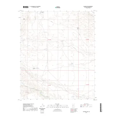
2023 Map of Saladone Tank
USGS Topo · Published 2023About this map
Saladone Tank and a network of essential water catchments define this arid reach of Sierra County. Situated near the Salado Mountains, the landscape is carved by seasonal drainage systems including Las Animas Creek and Seco Creek. These ephemeral waterways, along with features like Animas Spring, have long dictated the movement of cattle and people through this high-desert environment.
Find a feature on this map
29 named features on this map. Tap any name to fly to it.
Don’t see what you’re looking for? This feature index may not catch every label — zoom into the map to look around manually.
Map Details
Editions of this 2023 Saladone Tank Map
This is the sole edition of this map. No revisions or reprints were ever made.
Other maps of this area

1935 · Hillsboro
USGS Topo · 1:48,000

1940 · Hillsboro
USGS Topo · 1:62,500

1954 · Tularosa
USGS Topo · 1:250,000

1955 · Las Cruces
USGS Topo · 1:250,000

1958 · Las Cruces
USGS Topo · 1:250,000

1958 · Tularosa
USGS Topo · 1:250,000

1961 · Skute Stone Arroyo
USGS Topo · 1:24,000

1961 · Saladone Tank
USGS Topo · 1:24,000

1961 · Caballo
USGS Topo · 1:24,000

1961 · Williamsburg NW
USGS Topo · 1:24,000