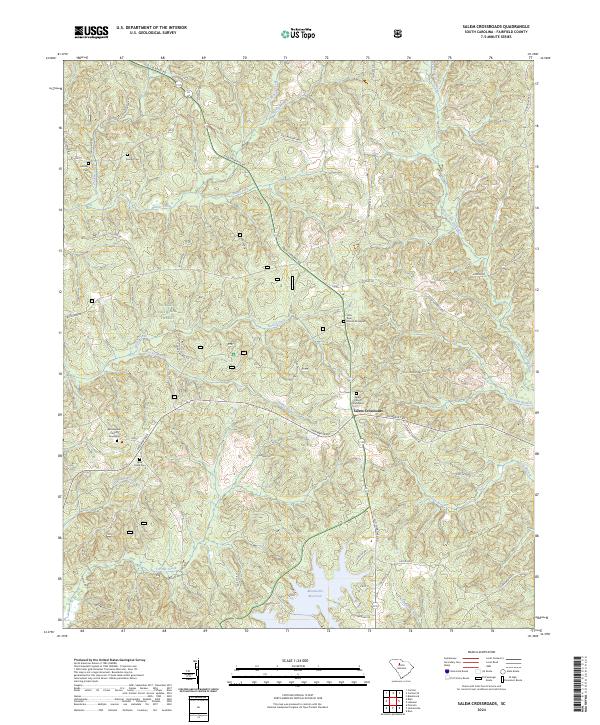
2024 Map of Salem Crossroads
USGS Topo · Published 2024About this map
Salem Crossroads serves as a central hub in this Fairfield County landscape, where the historical road network follows ancient paths. The Catawba Trail and Old Cherokee Rd cut through the terrain, tracing routes that predated modern surveying. This area is characterized by its numerous small burial grounds and rural congregations, including Salem Church, Little River Church, and Gethsemane Church, each with their associated graveyards. These sites, along with family plots like the Feaster Cem and Mobley Cem, offer significant primary data for genealogical research. To the south, the northern reaches of the Monticello Reservoir meet the natural flow of Terrible Creek, while much of the western portion of the map is protected within the Sumter National Forest. The map documents a quiet, rural interior dominated by creek drainages like Beaver Creek and Rocky Creek.
Find a feature on this map
51 named features on this map. Tap any name to fly to it.
Don’t see what you’re looking for? This feature index may not catch every label — zoom into the map to look around manually.
Map Details
Editions of this 2024 Salem Crossroads Map
This is the sole edition of this map. No revisions or reprints were ever made.
Other maps of this area

1904 · Columbia
USGS Topo · 1:125,000

1941 · Spartanburg
USGS Topo · 1:250,000

1953 · Spartanburg
USGS Topo · 1:250,000

1960 · Spartanburg
USGS Topo · 1:250,000

1963 · Spartanburg
USGS Topo · 1:250,000

1964 · Spartanburg
USGS Topo · 1:250,000

1968 · Blackstock
USGS Topo · 1:24,000

1969 · Lebanon
USGS Topo · 1:24,000

1969 · Pomaria
USGS Topo · 1:24,000

1969 · Blair
USGS Topo · 1:24,000