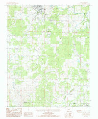
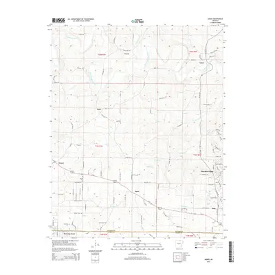
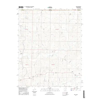
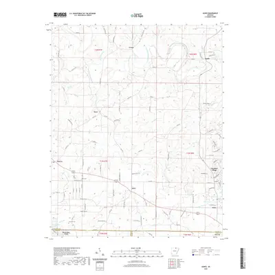
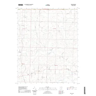
1984 Map of Salem Knob
USGS Topo · Published 1984About this map
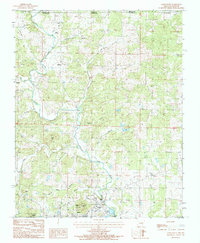
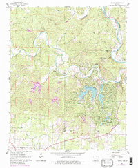
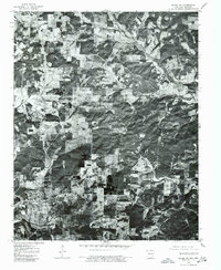
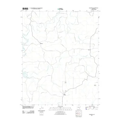
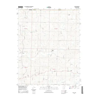
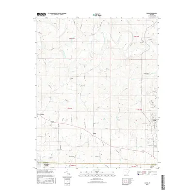
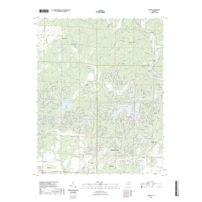
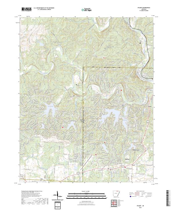
The South Fork Spring River carves a deep path through the Ozark landscape on the Missouri-Arkansas border, where the terrain is defined by prominent elevations such as Salem Knob and Turkey Knob. This mid-1980s landscape shows a rural network of small communities and family landmarks, with the town of Salem serving as a focal point in the south. The map documents numerous watercourses including Mith Creek, Katy Creek, and Trace Creek, which dictate the placement of local crossings and early roads. Of particular interest to genealogists are the State Line Ch and the Hunter Cem, alongside several smaller labeled Cem sites. Infrastructure of the era is represented by a Radio Tower, a Lookout Tower, and a Landing Strip near the river, illustrating the balance of traditional agriculture and modern utility in Fulton County.
Find a feature on this map
36 named features on this map. Tap any name to fly to it.
Don’t see what you’re looking for? This feature index may not catch every label — zoom into the map to look around manually.
Map Details
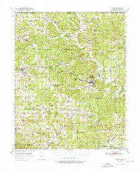
Editions of this 1984 Salem Knob Map
This is the sole edition of this map. No revisions or reprints were ever made.
Historical Maps of Salem Through Time
55 maps found
1950 Salem
Fulton County, AR

1951 Salem
Fulton County, AR
1962 Agnos
Fulton County, AR
1962 Camp
Fulton County, AR
1962 Stuart
Fulton County, AR
1966 Elizabeth
Fulton County, AR
1966 Gepp
Fulton County, AR
1976 Salem NE
Fulton County, AR
1976 Salem NW
Fulton County, AR
1976 Salem SE
Fulton County, AR
1976 Salem SW
Fulton County, AR
1984 Byron
Fulton County, AR
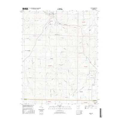
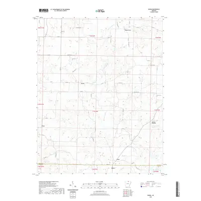
1984 Salem
Fulton County, AR
1984 Salem Knob
Fulton County, AR
2011 Agnos
Fulton County, AR
2011 Byron
Fulton County, AR
2011 Camp
Fulton County, AR
2011 Elizabeth
Fulton County, AR
2011 Gepp
Fulton County, AR
2011 Salem
Fulton County, AR
2011 Salem Knob
Fulton County, AR

2011 Stuart
Fulton County, AR
2014 Agnos
Fulton County, AR
2014 Byron
Fulton County, AR
2014 Camp
Fulton County, AR
2014 Elizabeth
Fulton County, AR
2014 Gepp
Fulton County, AR
2014 Salem
Fulton County, AR
2014 Salem Knob
Fulton County, AR
2014 Stuart
Fulton County, AR
2017 Agnos
Fulton County, AR
2017 Byron
Fulton County, AR
2017 Camp
Fulton County, AR
2017 Elizabeth
Fulton County, AR
2017 Gepp
Fulton County, AR
2017 Salem
Fulton County, AR
2017 Salem Knob
Fulton County, AR
2017 Stuart
Fulton County, AR
2020 Agnos
Fulton County, AR
2020 Byron
Fulton County, AR
2020 Camp
Fulton County, AR
2020 Elizabeth
Fulton County, AR
2020 Gepp
Fulton County, AR
2020 Salem
Fulton County, AR
2020 Salem Knob
Fulton County, AR
2020 Stuart
Fulton County, AR
2023 Stuart
Fulton County, AR
2024 Agnos
Fulton County, AR
2024 Byron
Fulton County, AR
2024 Camp
Fulton County, AR
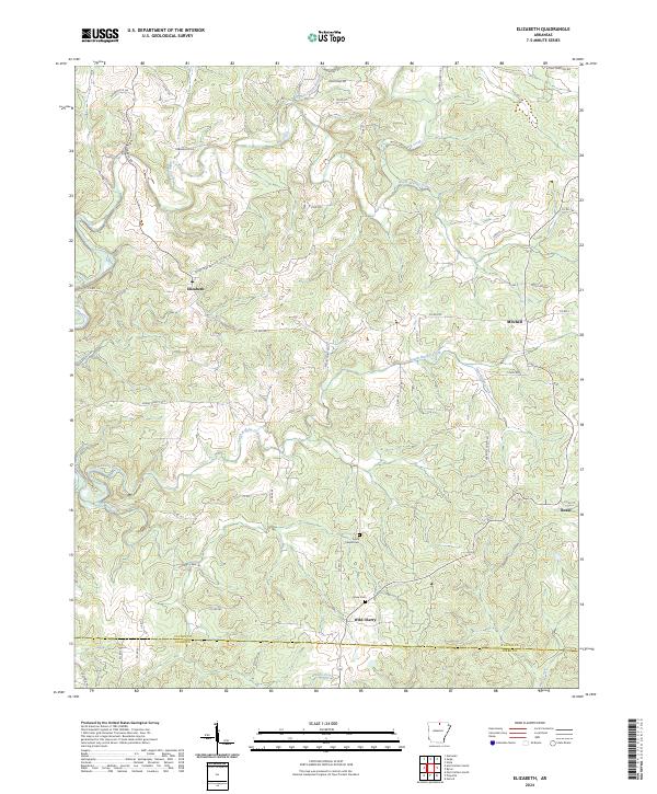
2024 Elizabeth
Fulton County, AR
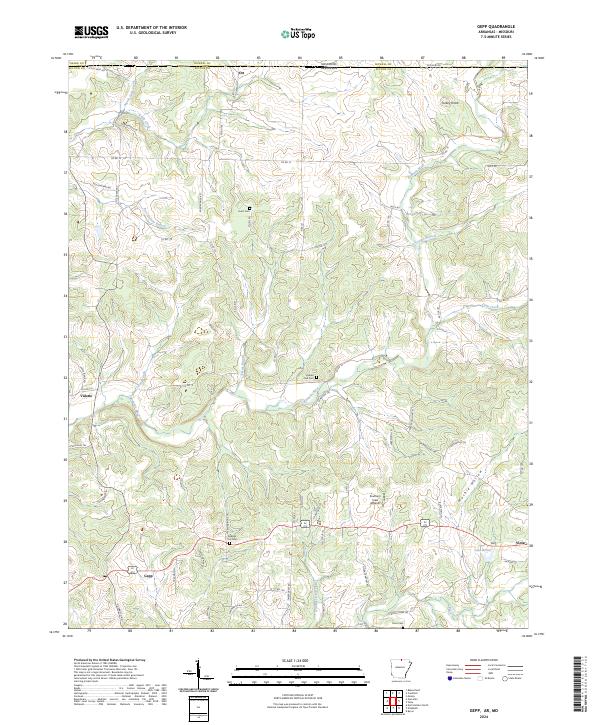
2024 Gepp
Fulton County, AR
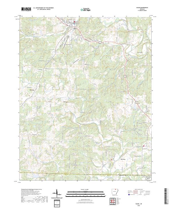
2024 Salem
Fulton County, AR
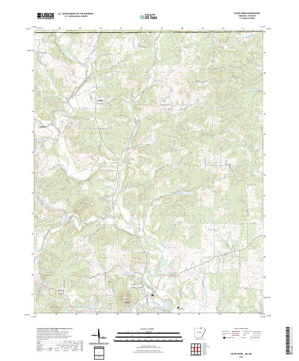
2024 Salem Knob
Fulton County, AR
2024 Stuart
Fulton County, AR