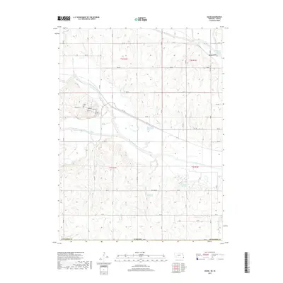
2017 Map of Salem
USGS Topo · Published 2017About this map
The North Fork Big Nemaha River and South Fork Big Nemaha River converge in this southeastern corner of Nebraska, a landscape defined by the winding hydrology of the Big Nemaha River valley. The village of Salem serves as the primary settlement, where local streets like Spring St and McDonald St center on a grid just north of the river's path. Near the village, Maple Cem provides a point of genealogical interest for those researching early Richardson County families.
Find a feature on this map
52 named features on this map. Tap any name to fly to it.
Don’t see what you’re looking for? This feature index may not catch every label — zoom into the map to look around manually.
Map Details
Editions of this 2017 Salem Map
This is the sole edition of this map. No revisions or reprints were ever made.
Other maps of this area

1888 · Hiawatha
USGS Topo · 1:125,000

1894 · Hiawatha
USGS Topo · 1:125,000

1915 · Falls City
USGS Topo · 1:62,500

1916 · Humboldt
USGS Topo · 1:62,500

1950 · Kansas City
USGS Topo · 1:250,000

1954 · Kansas City
USGS Topo · 1:250,000

1955 · Nebraska City
USGS Topo · 1:250,000

1956 · Kansas City
USGS Topo · 1:250,000

1957 · Nebraska City
USGS Topo · 1:250,000

1958 · Nebraska City
USGS Topo · 1:250,000