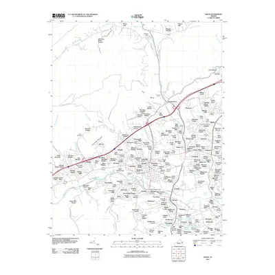
2010 Map of Salem
USGS Topo · Published 2010About this map
Mason Creek and the Roanoke River define the suburban and industrial landscape of this Virginia valley as it appeared in 2010. The densely developed neighborhoods of Salem spread across the center of the sheet, revealing the city's complex network of mid-century and modern residential estates. Notable community landmarks such as the Virginia Baptist Childrens Home, the Southern Lutheran Orphanage, and the Salem Post Office are clearly documented, providing a precise record of the city's social infrastructure.
Find a feature on this map
219 named features on this map. Tap any name to fly to it.
Don’t see what you’re looking for? This feature index may not catch every label — zoom into the map to look around manually.
Map Details
Editions of this 2010 Salem Map
This is the sole edition of this map. No revisions or reprints were ever made.
Other maps of this area

1890 · Roanoke
USGS Topo · 1:125,000

1890 · Christiansburg
USGS Topo · 1:125,000

1891 · Roanoke
USGS Topo · 1:125,000

1929 · Roanoke
USGS Topo · 1:48,000

1929 · Salem
USGS Topo · 1:48,000

1932 · Salem
USGS Topo · 1:62,500

1933 · Roanoke
USGS Topo · 1:62,500

1947 · Roanoke
USGS Topo · 1:250,000

1950 · Elliston
USGS Topo · 1:62,500

1951 · Boones Mill
USGS Topo · 1:62,500