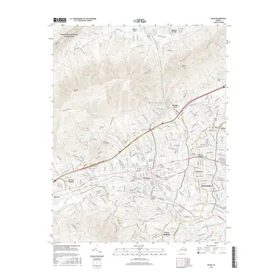
2016 Map of Salem
USGS Topo · Published 2016About this map
Salem and the western reaches of Roanoke anchor this valley landscape, where the Roanoke River winds through a dense network of suburban development and industrial infrastructure. The map documents the city's academic and transit hubs, including the campus of Roanoke Coll and the nearby National College Salem. Along the river, the J Sinclair Brown Bridge and Trussmark Airport serve as central landmarks, while the Appalachian National Scenic Trail traverses the high ridges of Catawba Mtn to the north, overlooking Mason Cove.
Find a feature on this map
275 named features on this map. Tap any name to fly to it.
Don’t see what you’re looking for? This feature index may not catch every label — zoom into the map to look around manually.
Map Details
Editions of this 2016 Salem Map
This is the sole edition of this map. No revisions or reprints were ever made.
Other maps of this area

1890 · Roanoke
USGS Topo · 1:125,000

1890 · Christiansburg
USGS Topo · 1:125,000

1891 · Roanoke
USGS Topo · 1:125,000

1929 · Roanoke
USGS Topo · 1:48,000

1929 · Salem
USGS Topo · 1:48,000

1932 · Salem
USGS Topo · 1:62,500

1933 · Roanoke
USGS Topo · 1:62,500

1947 · Roanoke
USGS Topo · 1:250,000

1950 · Elliston
USGS Topo · 1:62,500

1951 · Boones Mill
USGS Topo · 1:62,500