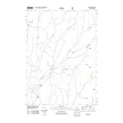
2011 Map of Salem
USGS Topo · Published 2011About this map
Salem serves as the central hub of this Washington County survey, where the waters of White Creek and Blind Buck Stream converge. The village’s deep historical roots are evidenced by the presence of the Revolutionary War Cemetery, alongside other local burial grounds like Evergreen Cemetery and Holy Cross Cemetery. The landscape is defined by its numerous hollows and ridges, such as Perkins Hollow and Hogback Ridge, which dictate the winding paths of rural roads like Beattie Hollow Rd and Chamberlin Mills Rd. To the south, the settlement of Rexleigh is marked by the Rexleigh Bridge spanning the Batten Kill. Further north, the terrain rises toward Hebron Mountain near the community of West Hebron, while Greenwich Junction indicates a point of transit at the western edge of the quadrangle. The map documents a classic New York landscape of valley settlements and upland ridges that have shaped the region's agricultural and social patterns for generations.
Find a feature on this map
70 named features on this map. Tap any name to fly to it.
Don’t see what you’re looking for? This feature index may not catch every label — zoom into the map to look around manually.
Map Details
Editions of this 2011 Salem Map
This is the sole edition of this map. No revisions or reprints were ever made.
Other maps of this area

1893 · Fort Ann
USGS Topo · 1:62,500

1894 · Pawlet
USGS Topo · 1:62,500

1894 · Equinox
USGS Topo · 1:62,500

1895 · Cambridge
USGS Topo · 1:62,500

1895 · Fort Ann
USGS Topo · 1:62,500

1896 · Equinox
USGS Topo · 1:62,500

1897 · Pawlet
USGS Topo · 1:62,500

1898 · Cambridge
USGS Topo · 1:62,500

1898 · Fort Ann
USGS Topo · 1:62,500

1900 · Equinox
USGS Topo · 1:62,500