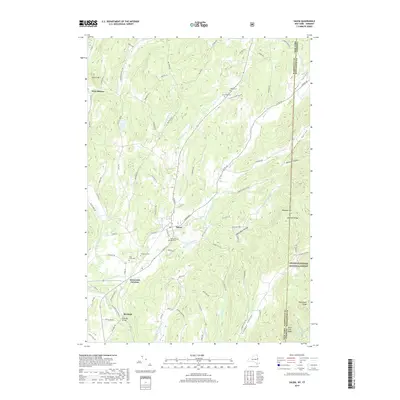
2019 Map of Salem
USGS Topo · Published 2019About this map
The village of Salem serves as the focal point of this landscape along the border of New York and Vermont. Located in a valley defined by White Cr and Blind Buck Stream, the settlement exhibits a classic linear development pattern along S Main St and Archibald St. Several significant burial sites, including the Revolutionary War Cem and Evergreen Cem, highlight the area's deep colonial and early American heritage.
Find a feature on this map
96 named features on this map. Tap any name to fly to it.
Don’t see what you’re looking for? This feature index may not catch every label — zoom into the map to look around manually.
Map Details
Editions of this 2019 Salem Map
This is the sole edition of this map. No revisions or reprints were ever made.
Other maps of this area

1893 · Fort Ann
USGS Topo · 1:62,500

1894 · Pawlet
USGS Topo · 1:62,500

1894 · Equinox
USGS Topo · 1:62,500

1895 · Cambridge
USGS Topo · 1:62,500

1895 · Fort Ann
USGS Topo · 1:62,500

1896 · Equinox
USGS Topo · 1:62,500

1897 · Pawlet
USGS Topo · 1:62,500

1898 · Cambridge
USGS Topo · 1:62,500

1898 · Fort Ann
USGS Topo · 1:62,500

1900 · Equinox
USGS Topo · 1:62,500